RADAR
- U of M's Canadian RADAR information
- Environment Canada's clickable national RADAR map
- Weather Underground's Canadian RADAR with Doppler
- RADAR-estimated 24-hour precipitation accumulation
- Nav Canada's RADAR selection includes echo tops
- Olds-Didsbury, AB (west of Red Deer) only in service during summer
- Reflectivity latest image and animation
- Reflectivity with topography latest image and animation
- VIL latest image and animation
- Whitehorse X-band
- McGill
- RADAR on UNBC's weather viewer
American and worldwide RADARs
- Individual RADARs
- College of DuPage's RADAR
- NWS's RADAR display
- WeatherNerds
- Some RADARs in the southern US, in high res (Level 2) format
- Single RADARs
- American weather modification RADARs
- NCAR-RAP RADAR output
- American NEXRAD archive
- Composite RADARs
- Composite multi-RADAR multi-sensor
- NWS National composite
- Loop - 2.2 mb
- Single image
- NWS Northern and central plains
- NWS Central plains
- NWS Northern rockies
- COD regional RADAR
- Intellicast - includes cell motion and echo top
North America
South America
Oceania
Europe
- Europe-wide composite
- Belarus
- Belgium
- Croatia
- Czech Republic
- Denmark
- Estonia
- Finland
- Finland link 2
- France
- Germany
- Germany 1 2 3 4 5 6 7 8 9 10 11
- Greece
- Hungary
- Iceland
- Ireland
- Italy
- Jersey
- Latvia
- Lithuania
- Malta
- The Netherlands
- Norway
- Poland
- Portugal
- Romania
- San Marino
- Serbia
- Slovakia
- Slovenia
- Spain 1 2
- Sweden
- Turkey
- United Kingdom
Africa
Asia
Satellite pictures
Satellite pictures
- PASPC Multispectral Composite Imagery
- Visible/visible/3.9 µm daytime animation
- 10.7 µm/10.7 µm/3.9 µm nighttime animation
- New GOES-16 animations
- COD satellite imagery
- WeatherNerds
- Satellite imagery on UNBC's weather viewer
- GHCC visible, IR, water vapour
- NCAR visible, IR, water vapour, multispectral
- RAMSDIS visible, IR, water vapour, multispectral, sounder
- RAMMB various real and synthetic (WRF) imagery
- Tropical storm imagery
- POES in high-resolution colour
- GOES sounder information
- Convective initiation products
- Fire detection from NOAA
- Interesting imagery from NOAA
- CIMSS satellite blog
- Landsast
- GOES-16 imagery
Weather bulletins
Weather outlooks and discussions
- PASPC discussion FOCN45
- Storm Prediction Center
- Glasgow Discussion
- Great Falls Discussion
- Bismarck Discussion
- Grand Forks Discussion
- Seattle Discussion
- Spokane Discussion
Warnings
Southern Manitoba- Special weather statements
- Severe thunderstorm watches and/or synoptic warnings
- Severe thunderstorm warnings
- Tornado warnings
- Weather event summaries
- Special weather statements
- Severe thunderstorm watches and/or synoptic warnings
- Severe thunderstorm warnings
- Tornado warnings
- Weather event summaries
- Special weather statements
- Severe thunderstorm watches and/or synoptic warnings
- Severe thunderstorm warnings
- Tornado warnings
- Weather event summaries
- Special weather statements
- Severe thunderstorm watches and/or synoptic warnings
- Severe thunderstorm warnings
- Tornado warnings
- Weather event summaries
- Special weather statements
- Severe thunderstorm watches and/or synoptic warnings
- Severe thunderstorm warnings
- Tornado warnings
- Weather event summaries
- Special weather statements
- Severe thunderstorm watches and/or synoptic warnings
- Severe thunderstorm warnings
- Tornado warnings
- Weather event summaries
Other bulletins
Surface observations
- For cross-Canada
- Here's a different view of the map of the observing sites in the Prairies, the southern and central Arctic (big image)
- Manitoba mesonet
- Montana mesonet obs selector
- North Dakota mesonet obs selector
- Minnesota mesonet obs selector
- Get your own METARs
- Get your own METARs, link 2
- Canadian observations
- Google-ized obs maps for any location in the world
- CoCoRaHS
- Ski hills across the country
Surface analyses
Live personal weather stations
- Manitoba Observations
- Winnipeg - St. Vital South side featuring the antics of Sponge Dave!
- University of Winnipeg
- Winnipeg - Rob's Obs Charleswood (SW side)
- Winnipeg - Whyte Ridge (SW side)
- Winnipeg East Kildonan (NE side)
- Winnipeg - Saint James
- Winnipeg - Fort Richmond
- Just northeast of Winnipeg - near Bird's Hill Park
- Selkirk 37 km NE of Winnipeg International Airport
- Steinbach
- Virden
- Winkler between Morden and Gretna
- Saskatchewan Observations
- Regina NW side of City
- Blaine Lake North of Saskatoon
- Hazlet Between Swift Current and Maple Creek
- Colonsay
- Indian Head
- Naicam
- 5 miles W of Battleford
- 22 miles SW of North Battleford
- Alberta Observations
- Olds
- Edmonton, at U of A atop the Henry Marshall Tory Building
- Other
- Alberta Precipitation Maps from Alberta Environment
- Weatherbug observations
- PIREPS from NavCanada
Upper air
Upper air observations
- University of Wyoming soundings
- College of DuPage's soundings
- Soundings on UNBC's weather viewer
- NOAA's satellite imagery analyses showing upper winds
- NOAA's satellite-derived soundings
- SPC's sounding analyses and forecasts derived from them
Upper air plots and analyses
- College of DuPage's raw upper air plots
- MSC's analyzed upper air plots
- Upper analyses on UNBC's weather viewer
- SPC's upper air, both analyzed and unanalyzed
Upper air profilers
- UND (Grand Forks) Glacial Ridge profiler
- NOAA's profiler pages
- College of DuPage
- University of Manitoba radiometer
Lightning
- Gorilla weather's southern Manitoba lightning detection
- Bird's Hill lightning just northeast of Winnipeg
- USPLN lightning display delayed by 30 minutes
- Lightning Storm lightning display delayed by 30 minutes
- StrikeStar US
- Experimental lightning strike density
- Alaska
Model output
Multi-model pages
- COD (HRRR, RAP, NAM 3 km, SREF, GFS, ECMWF, CFSv2)
- Weather.US: ECMWF for free, Swiss Super HD model
- NCEP (NAM, GFS, RAP, SREF)
- Twister Data (NAM, GFS, RAP)
- WeatherBell models
- PSU wall (WRF, GFS, CMC, UKMET, ECMWF)
- Cool Wx - NAM and GFS precipitation typing
- Output from many models with anomalies
- Meteocentre track forecasts
- Wright Weather model tracks
- A Weather Moment model viewer
- Spot Wx a point-forecast multi-model graphical site
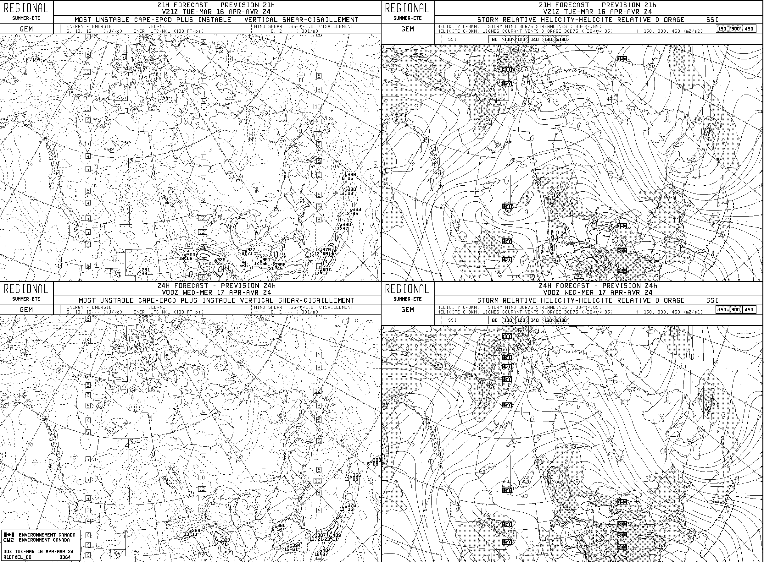
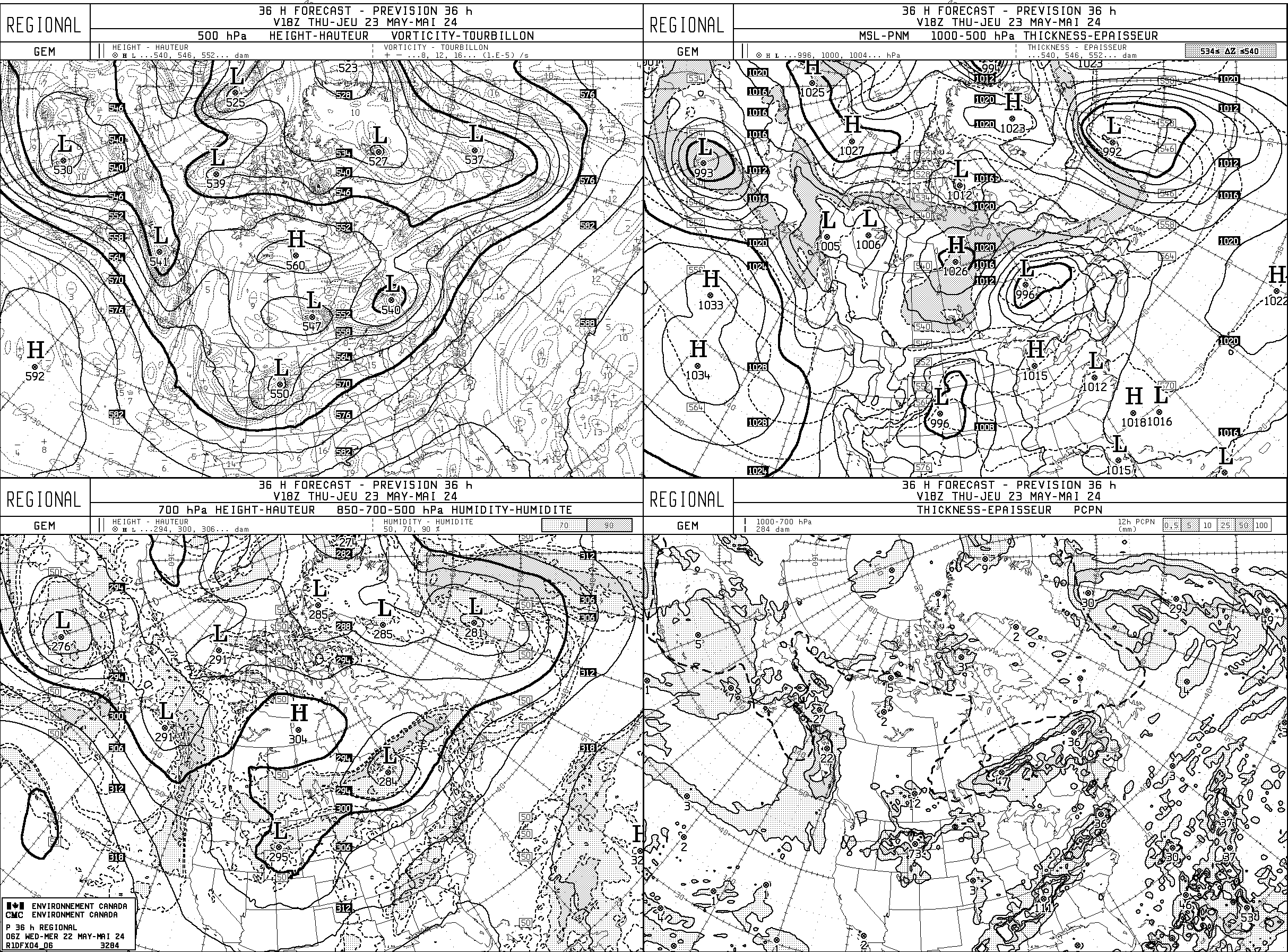
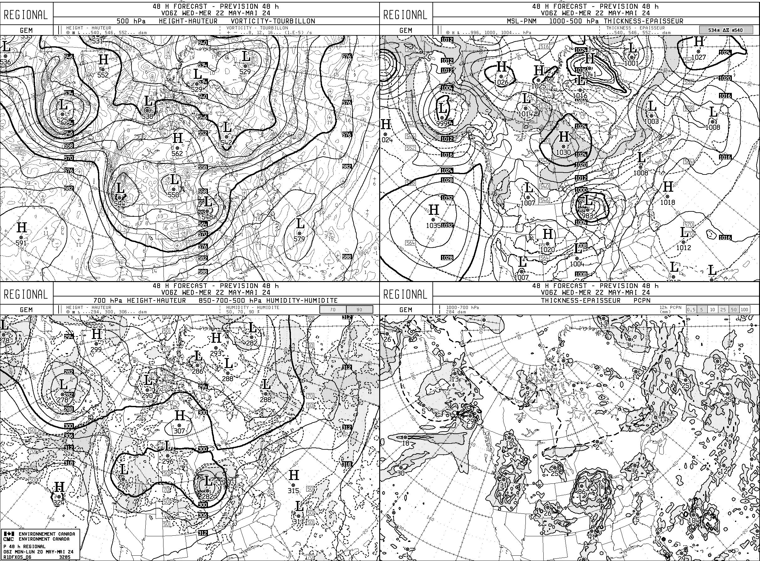
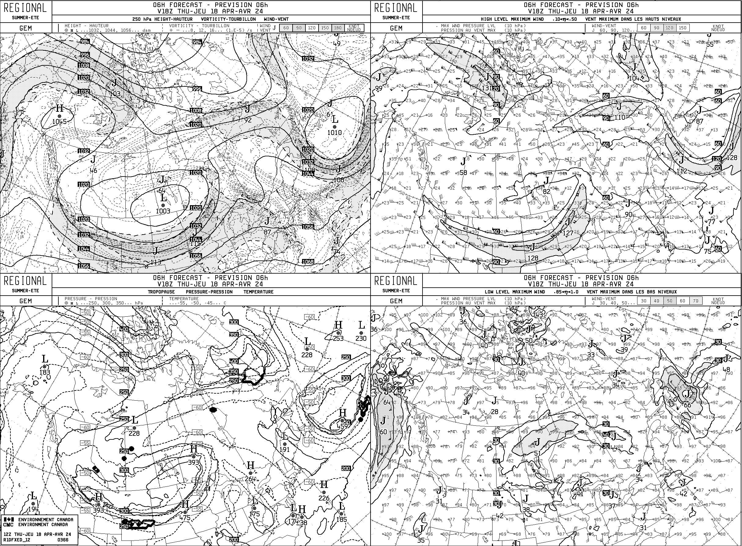
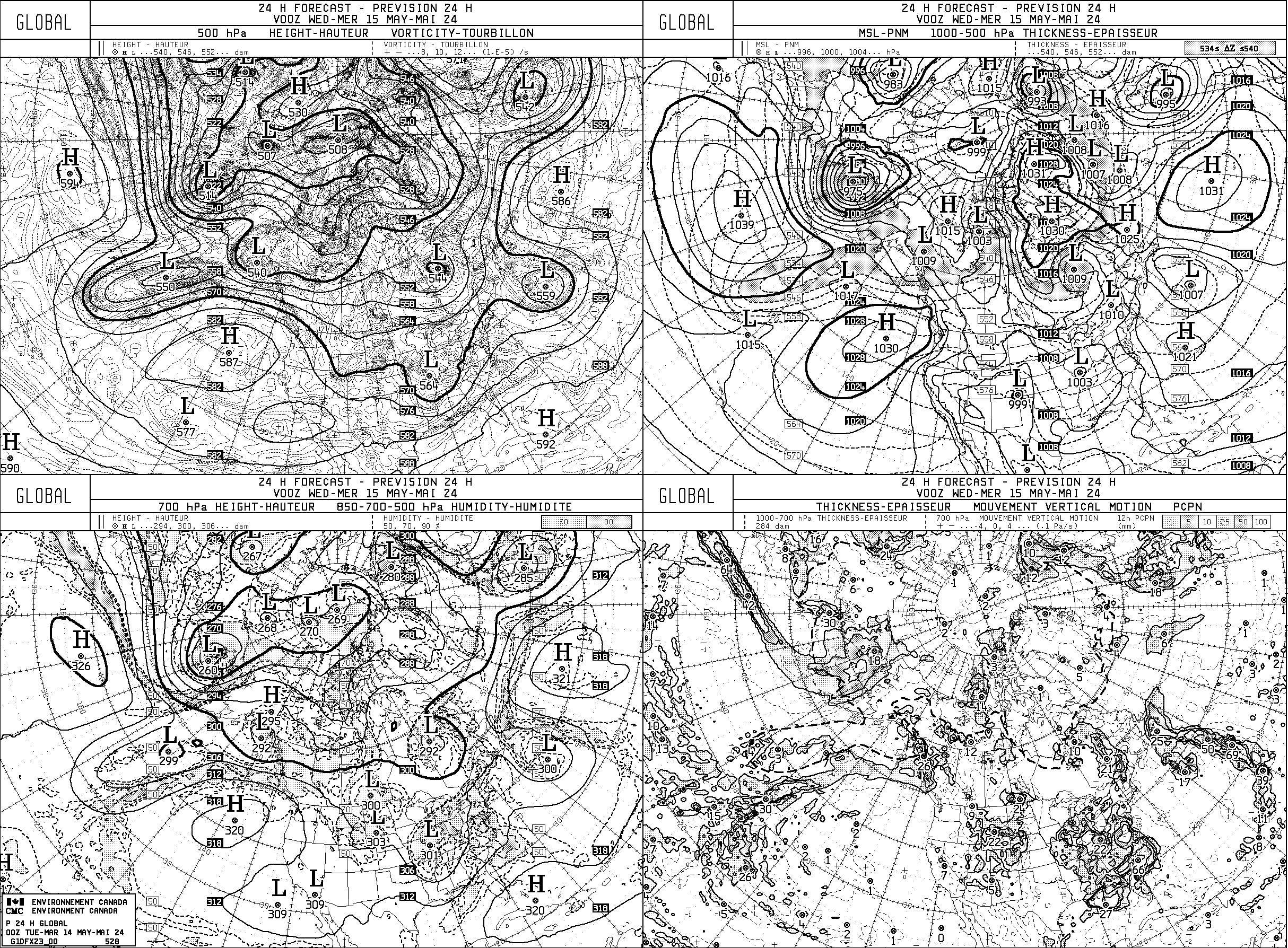
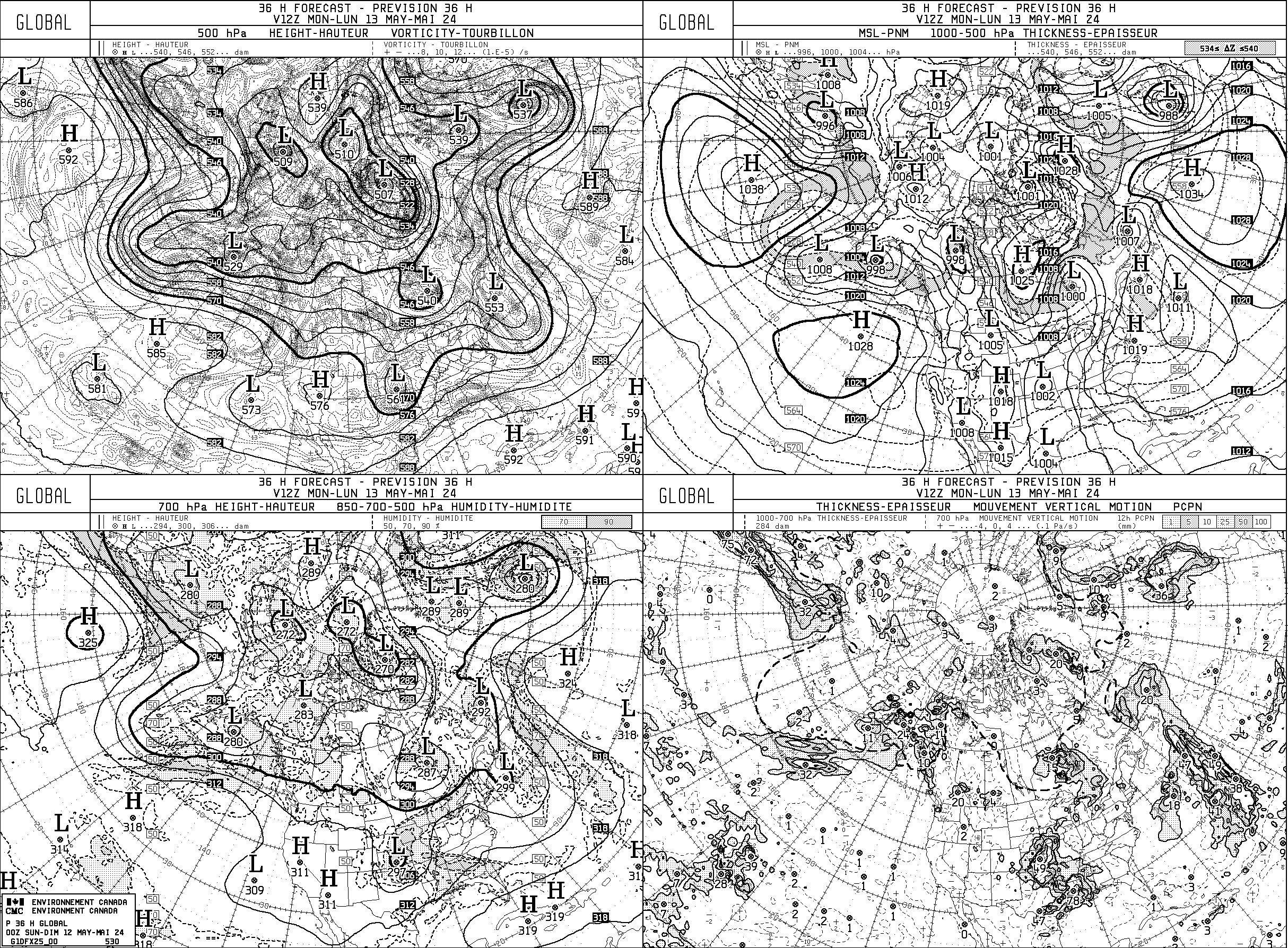
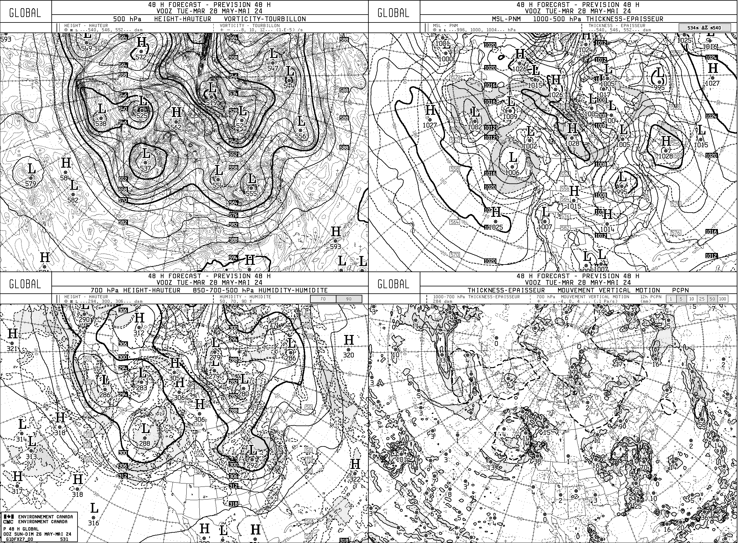
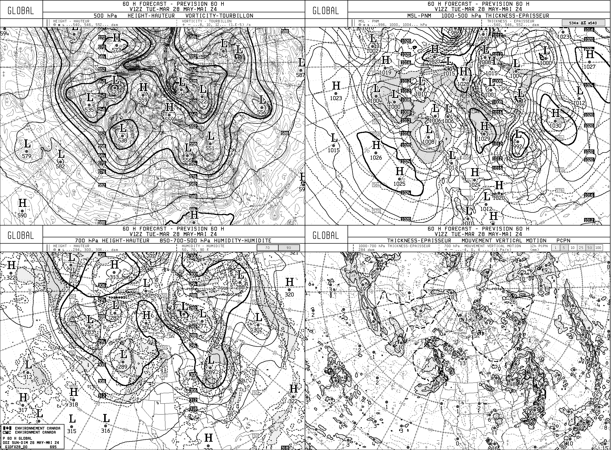
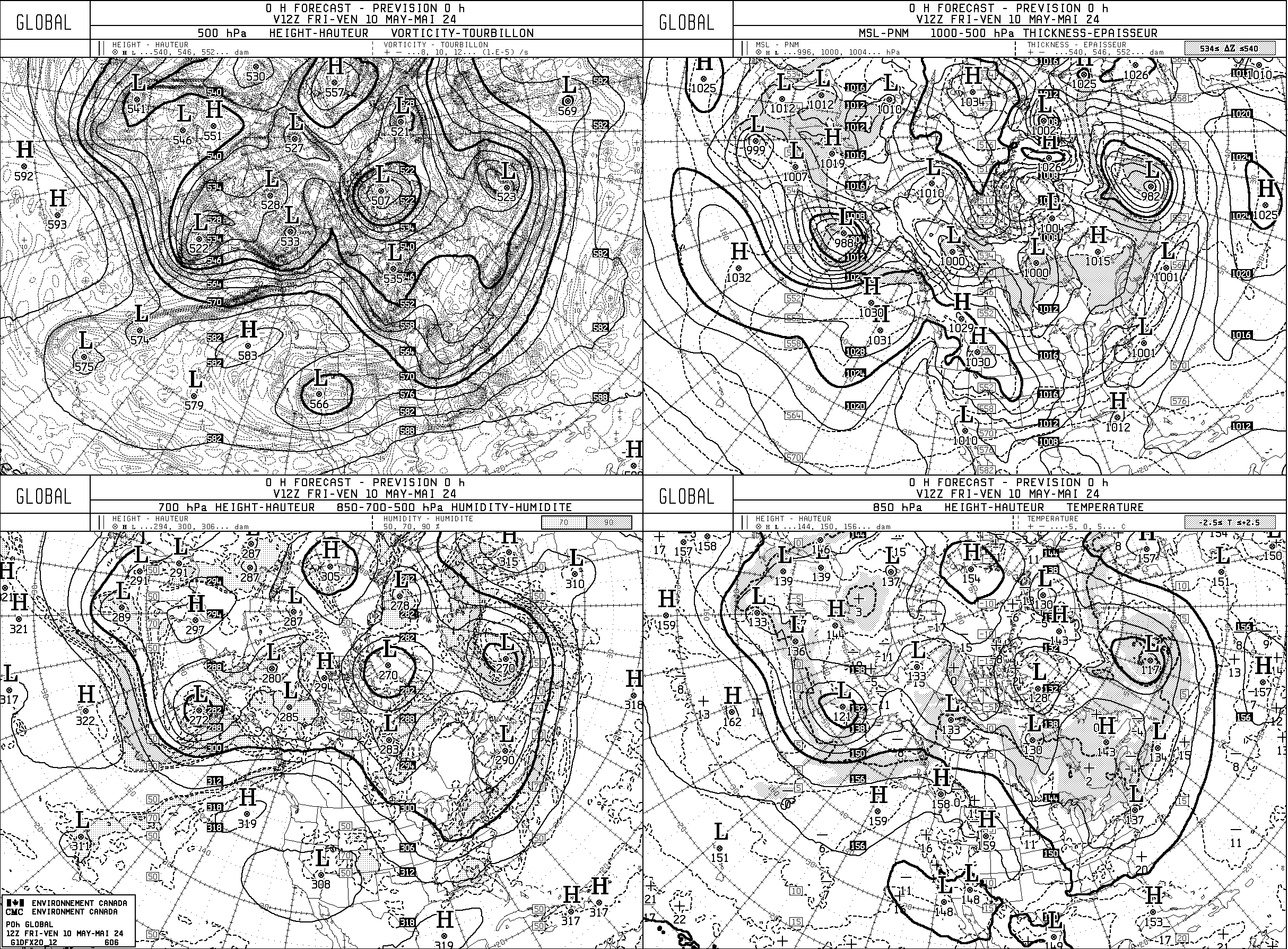
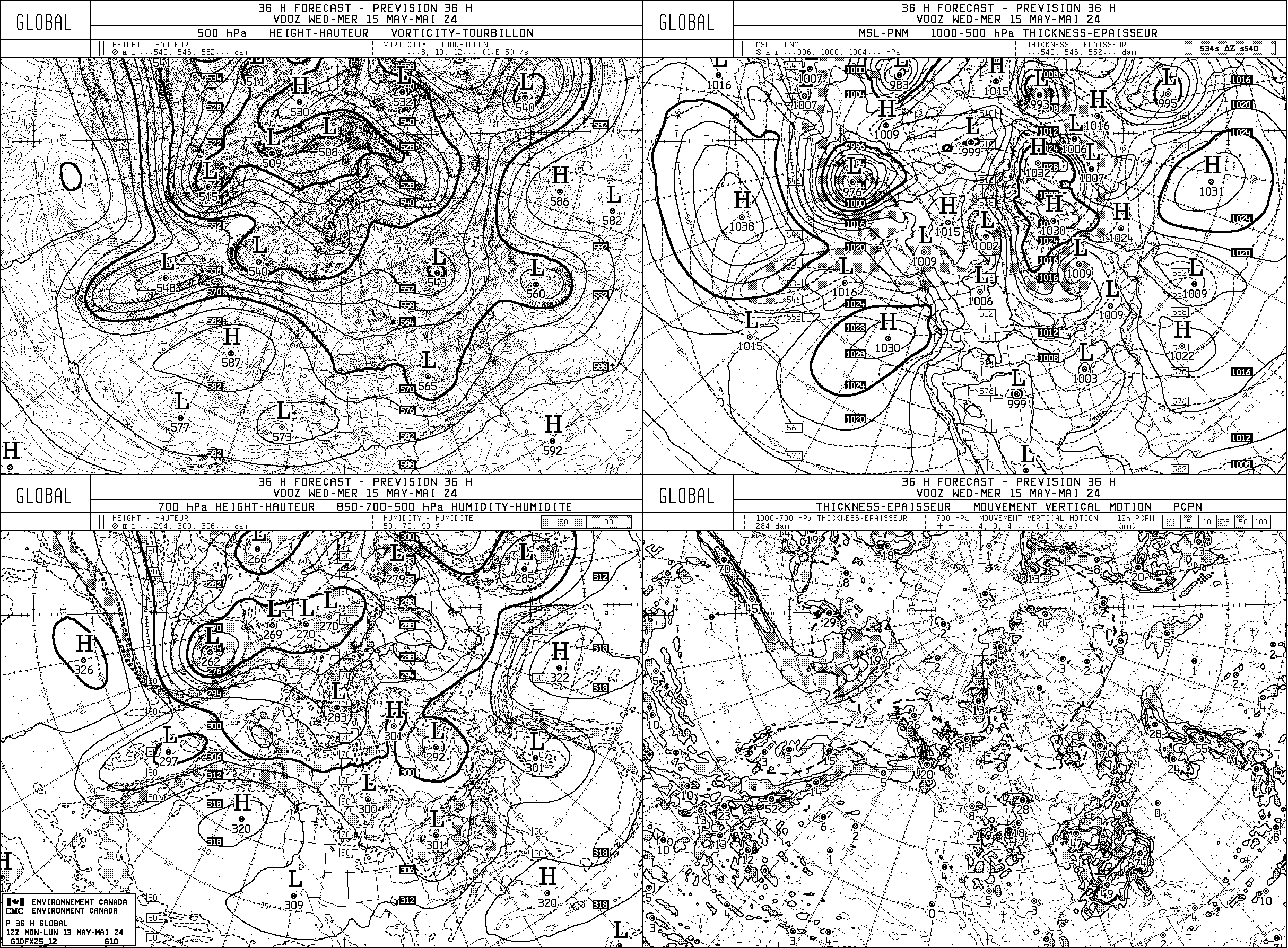
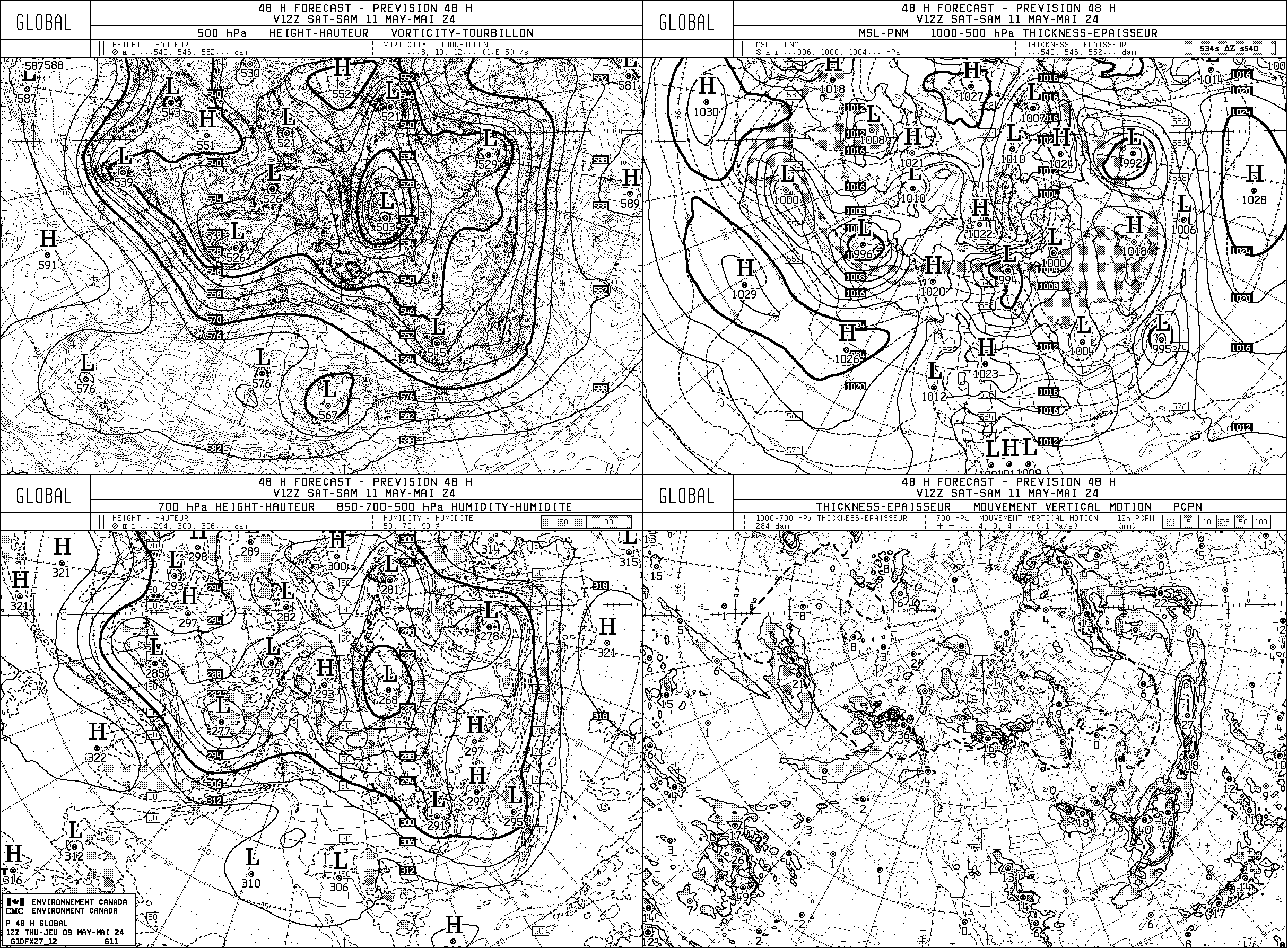
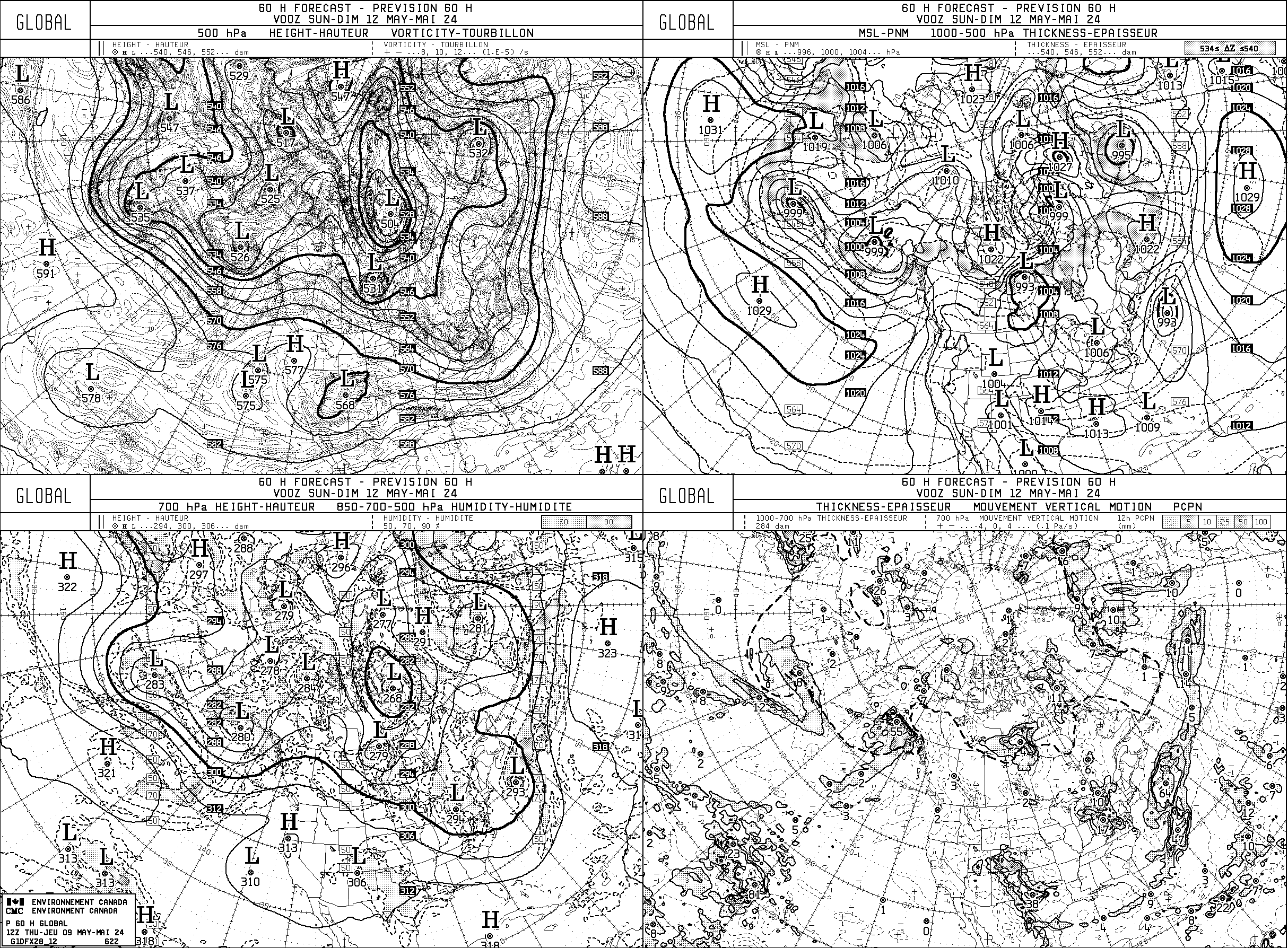
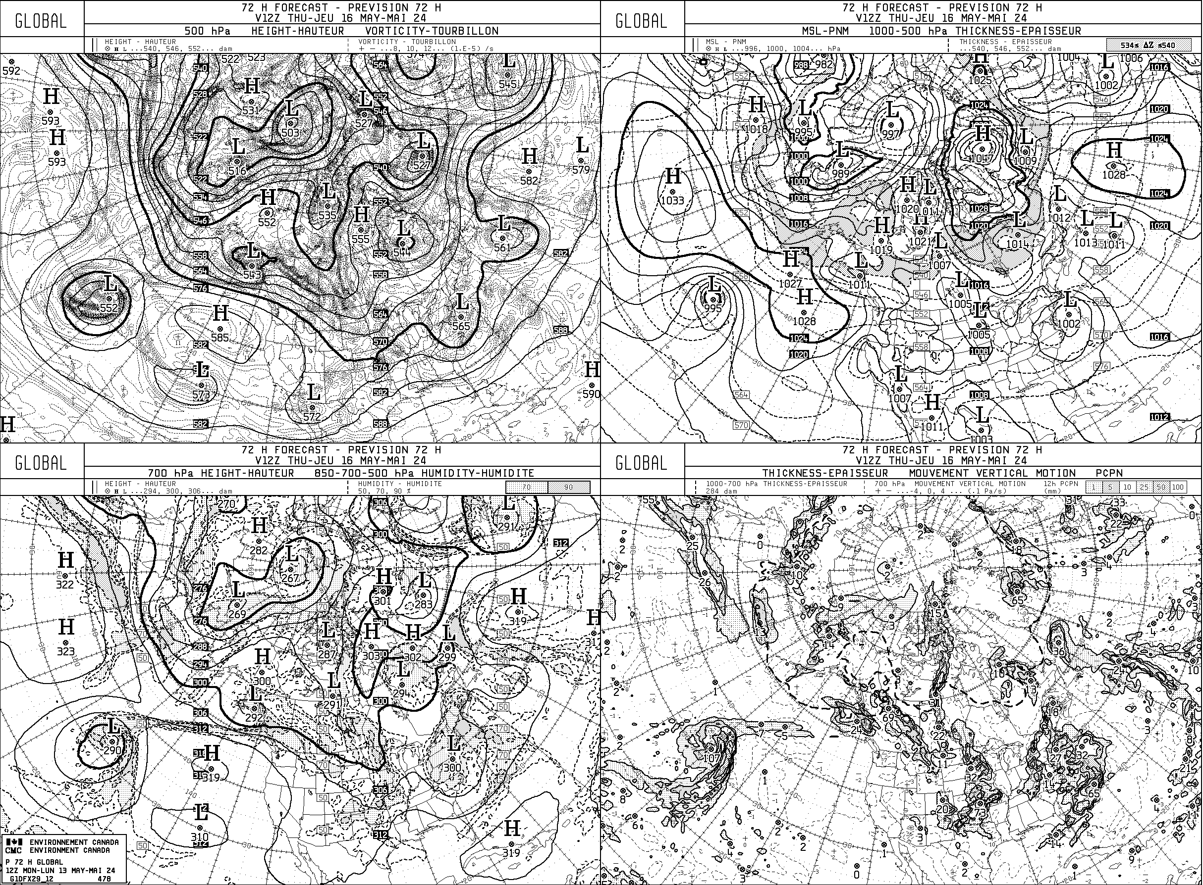
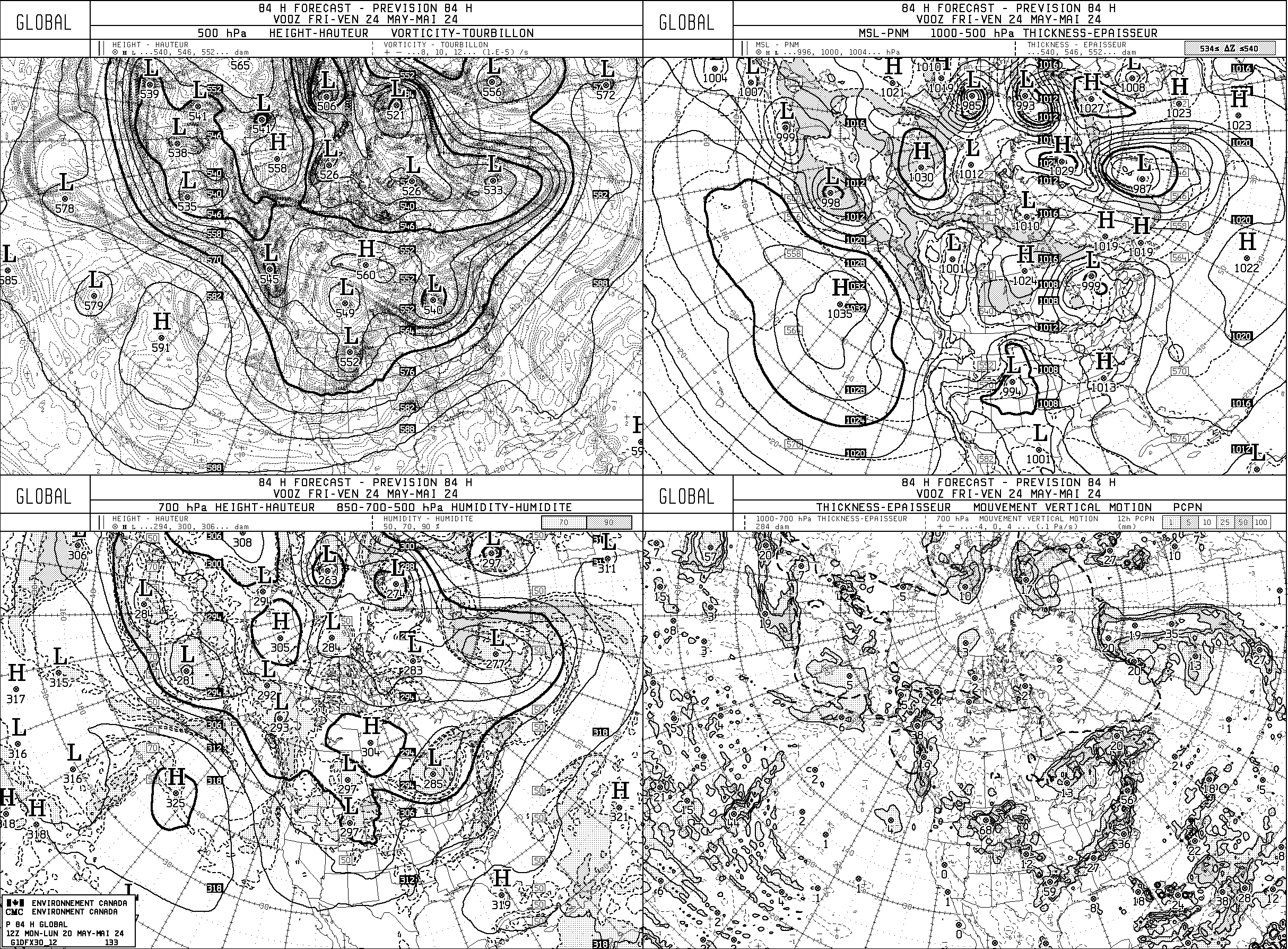
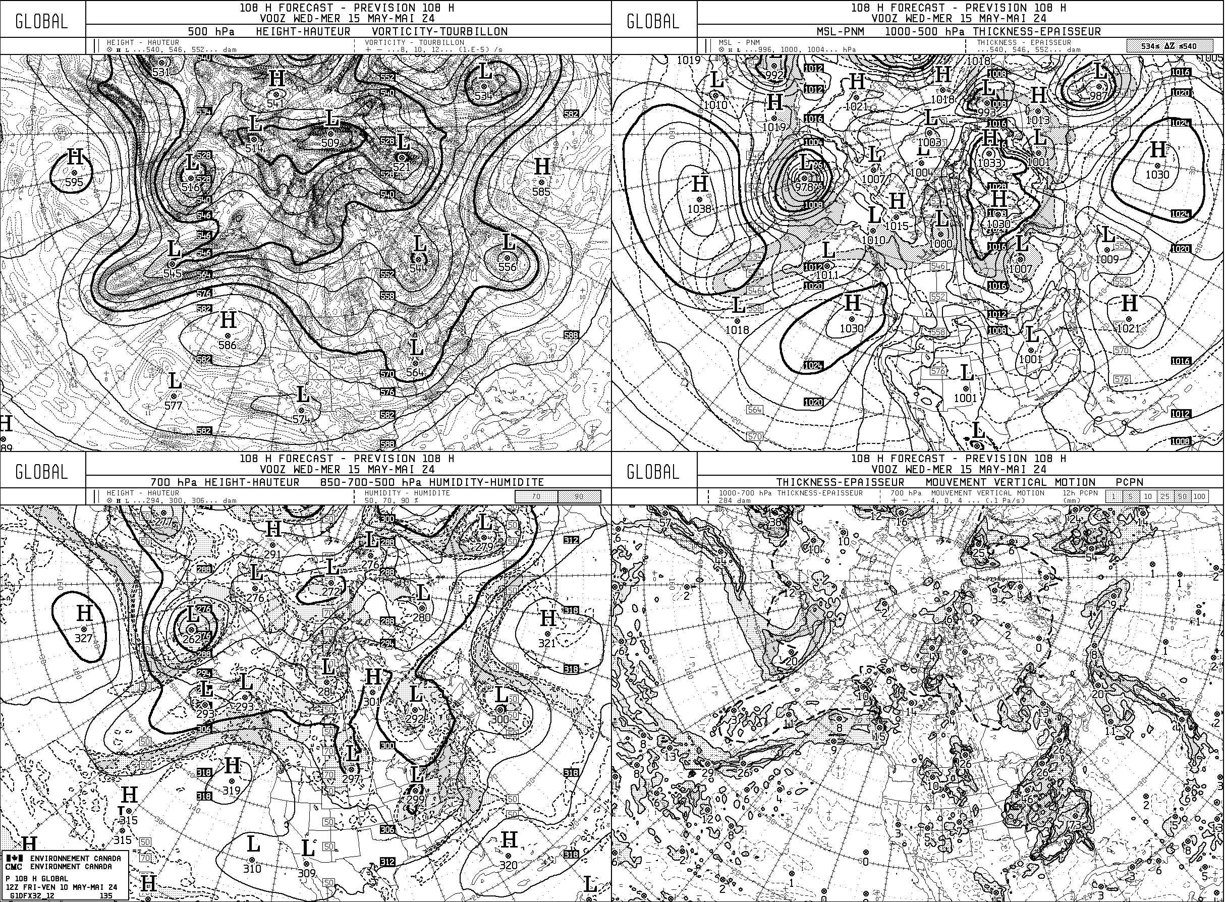
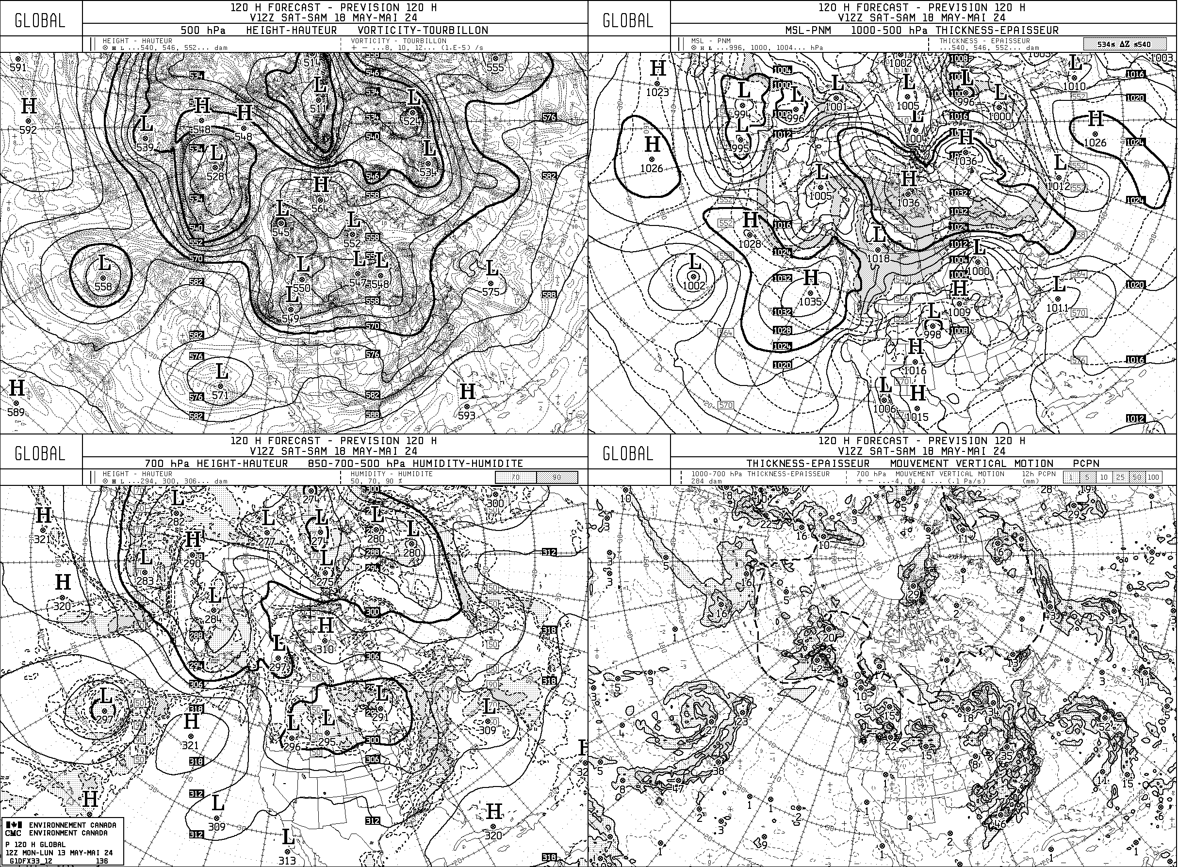
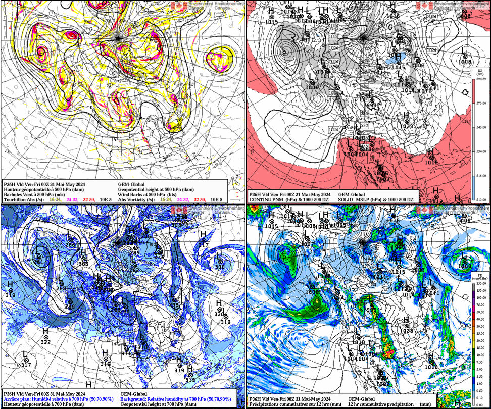
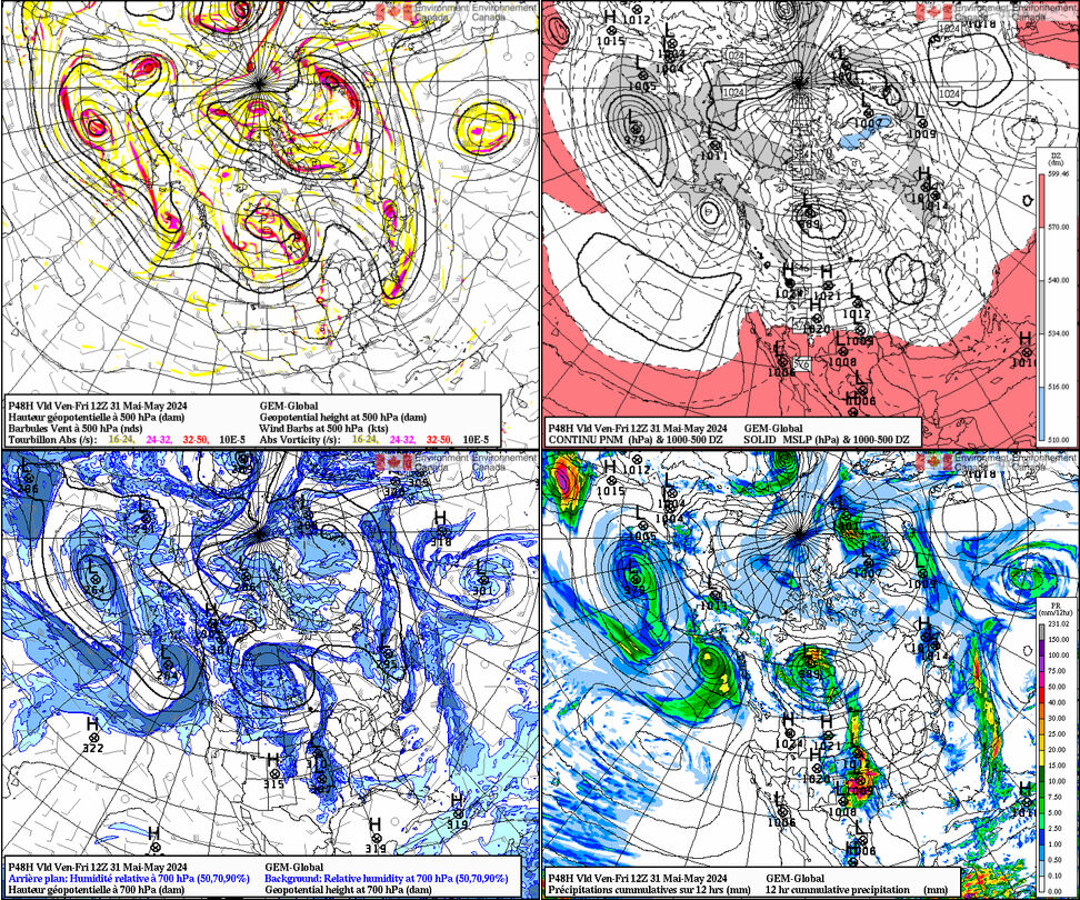
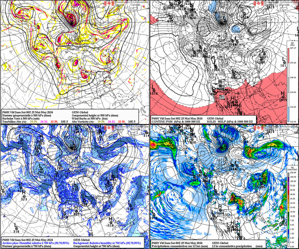
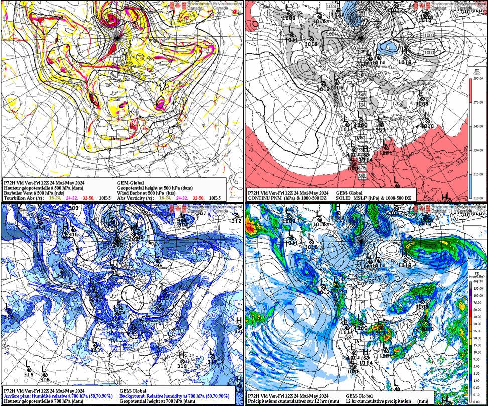
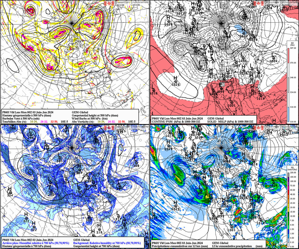
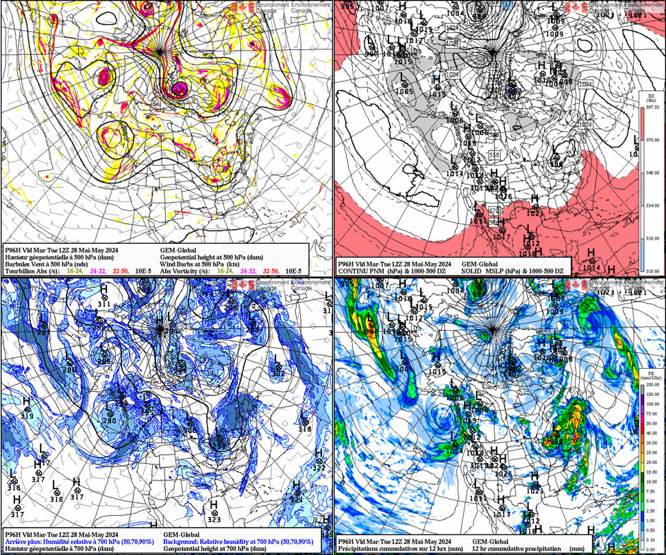
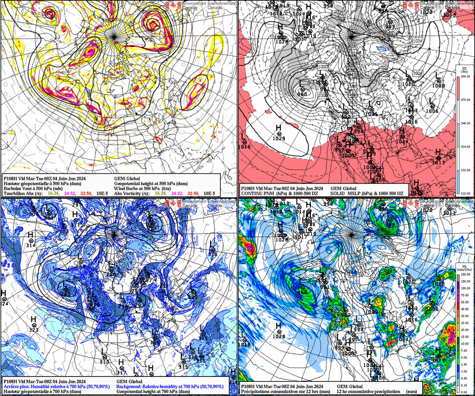
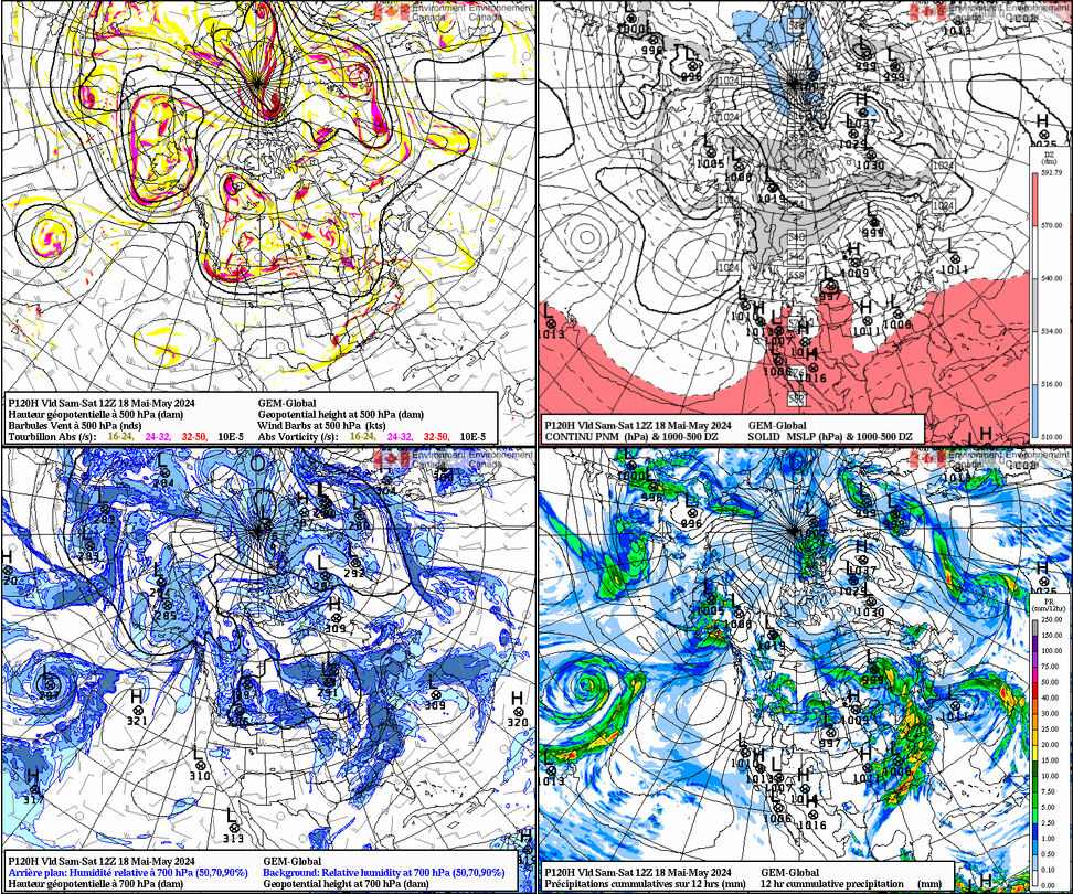
Canadian GEM
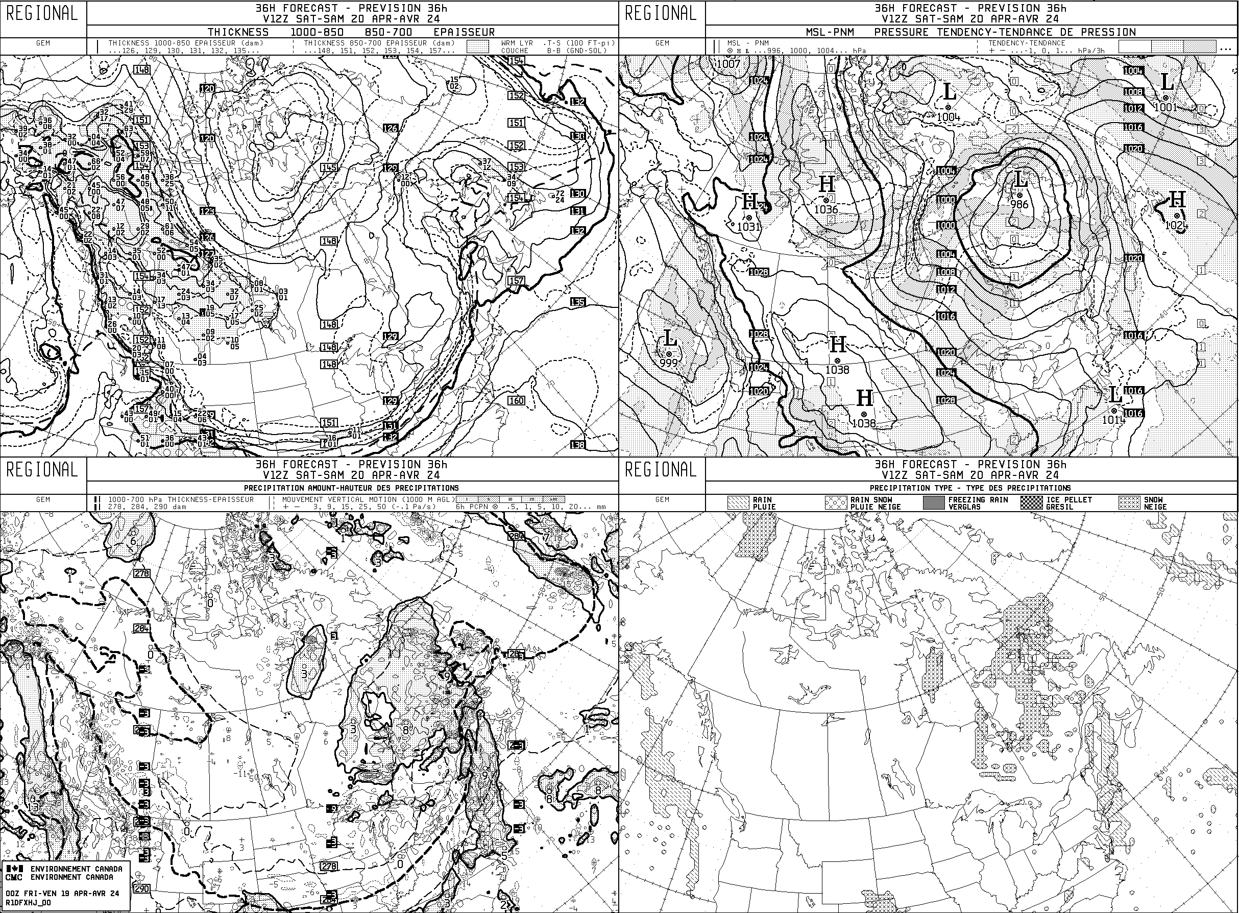
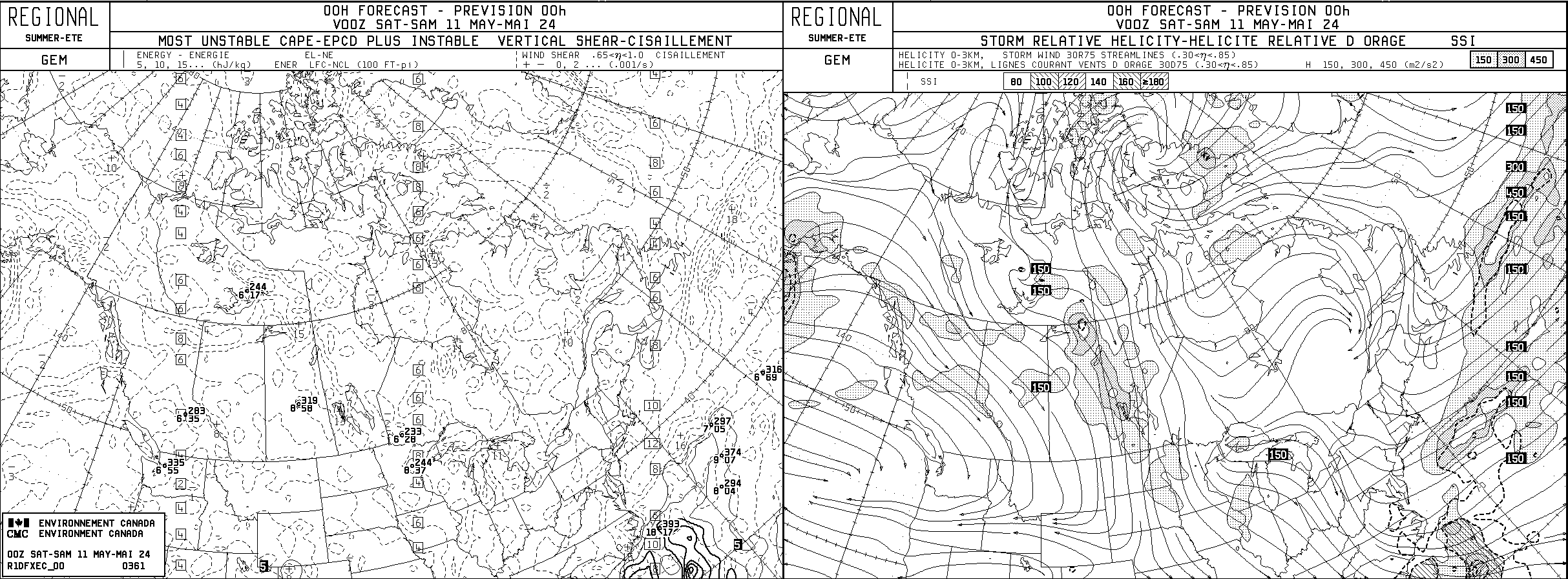
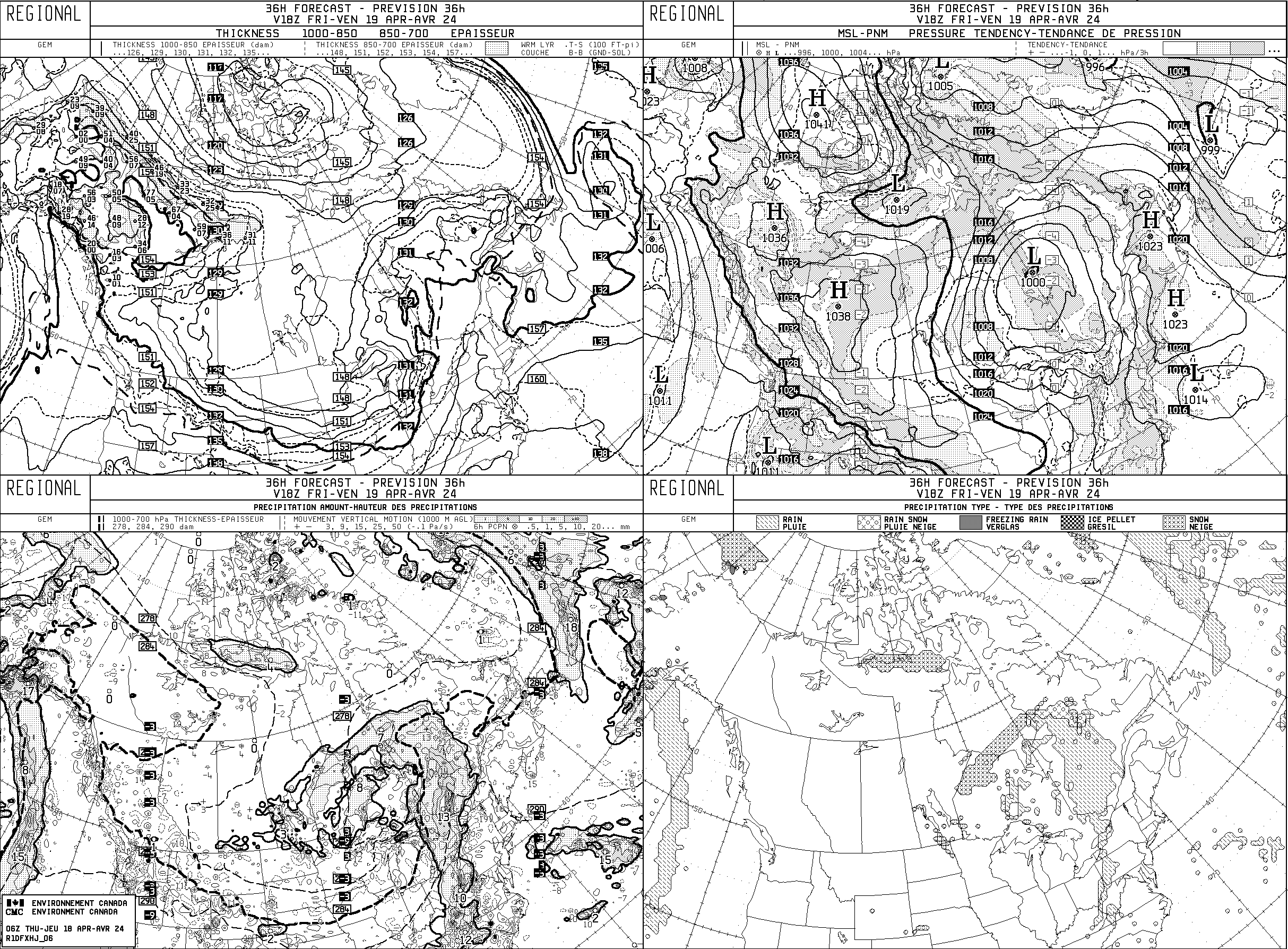
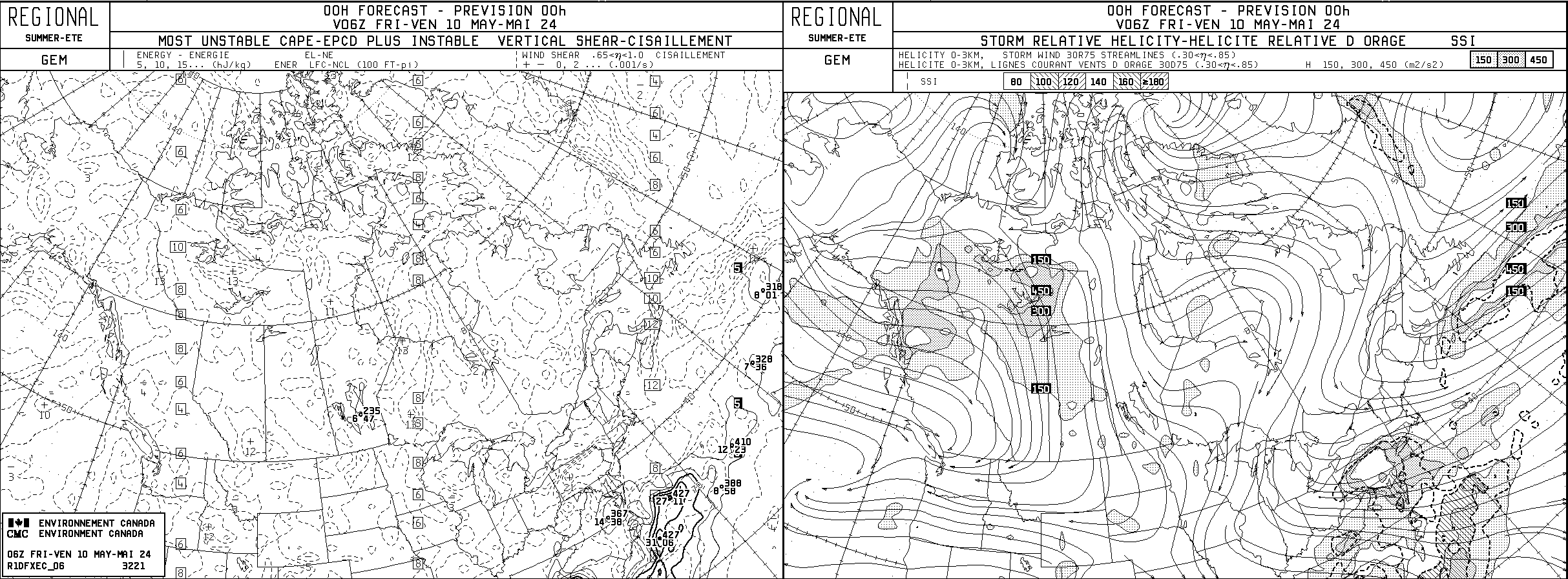
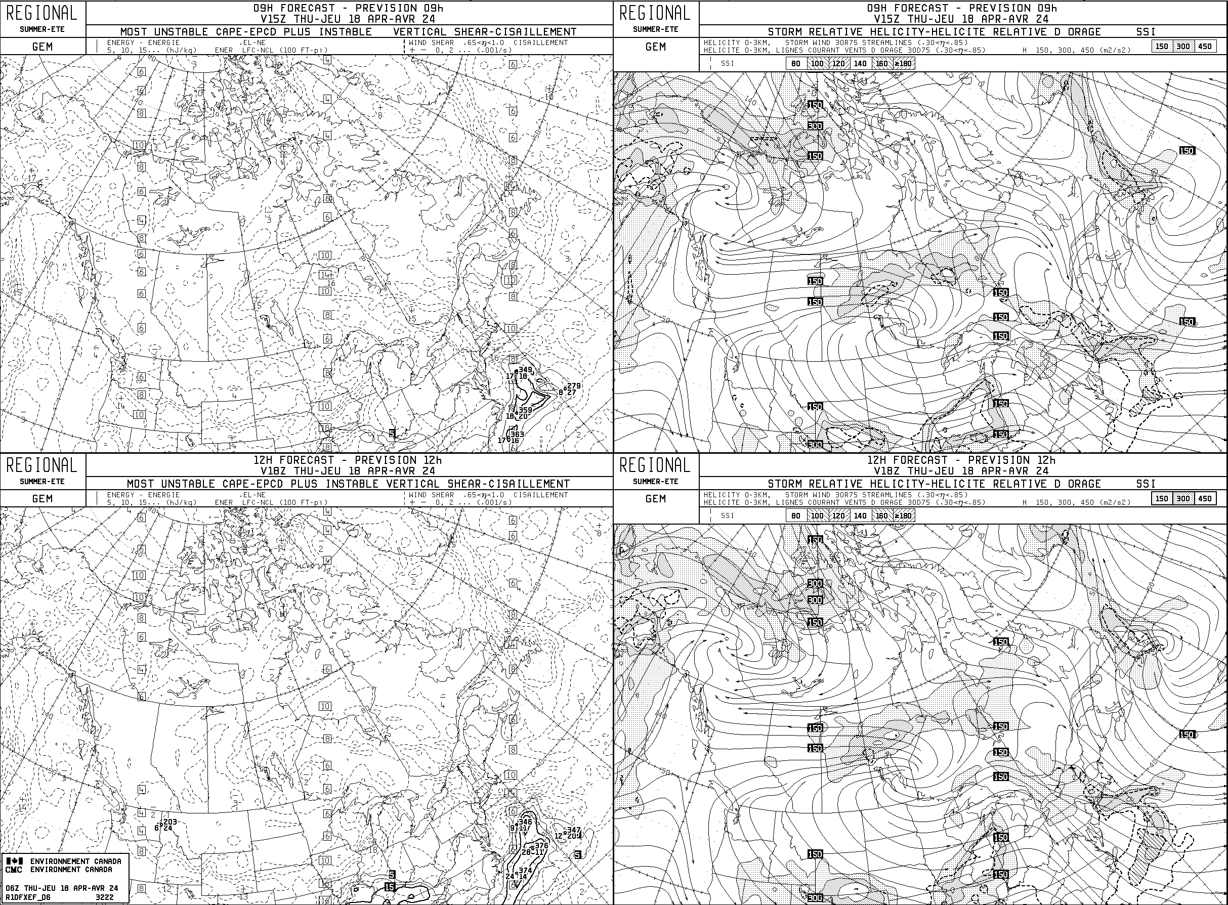
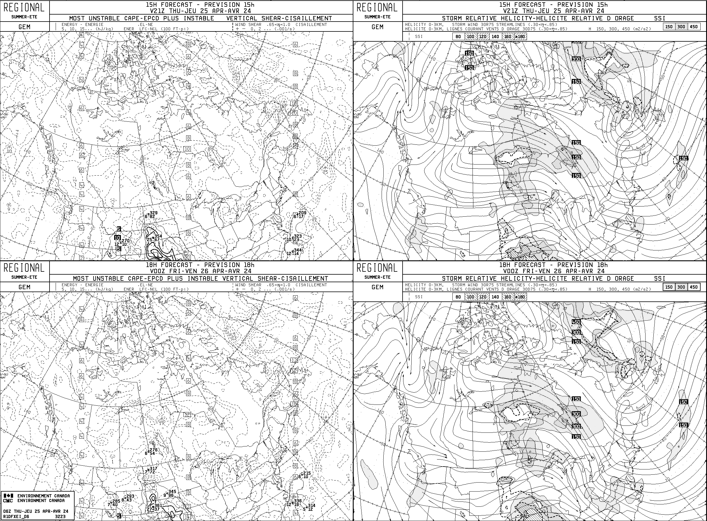
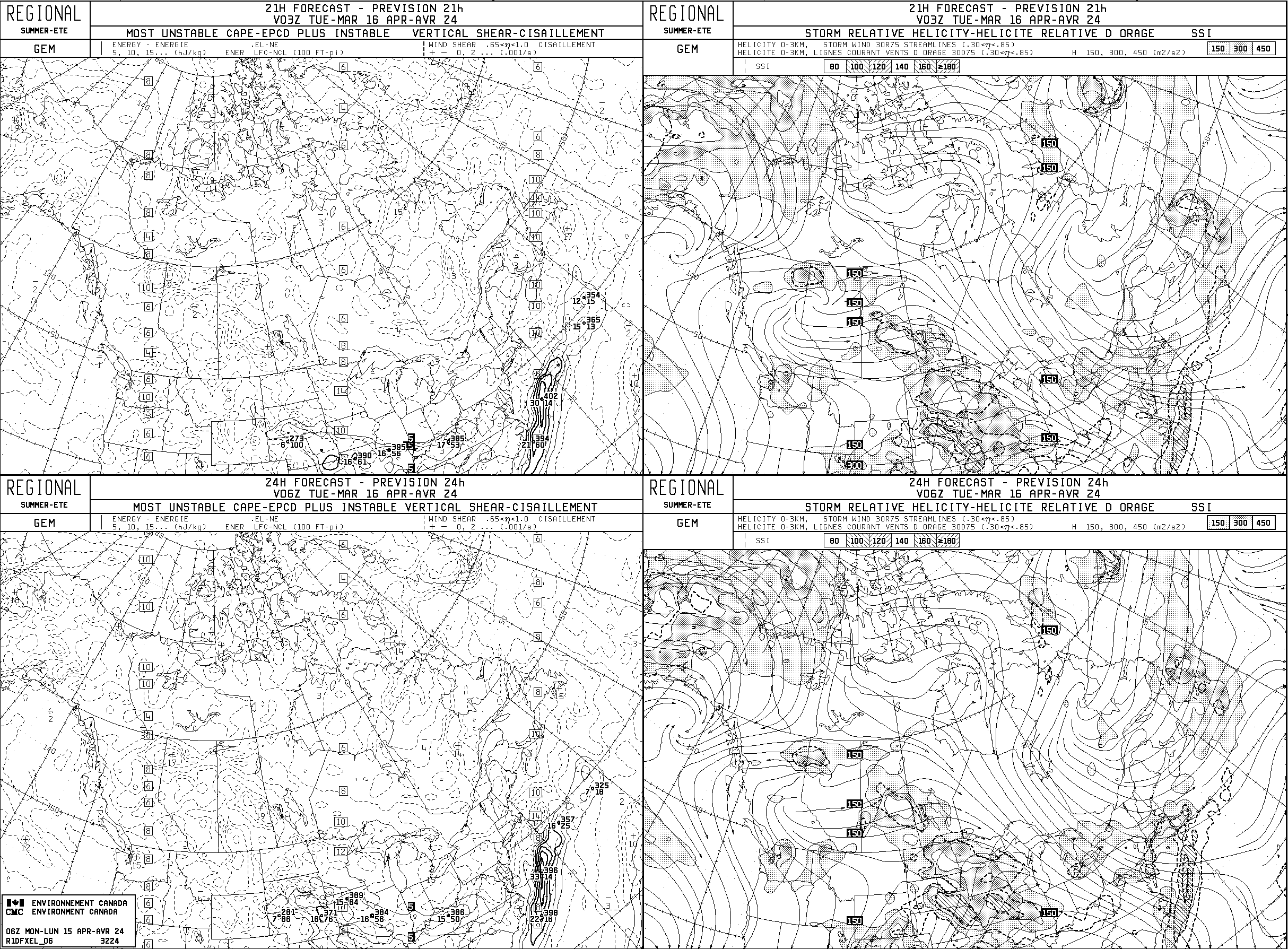
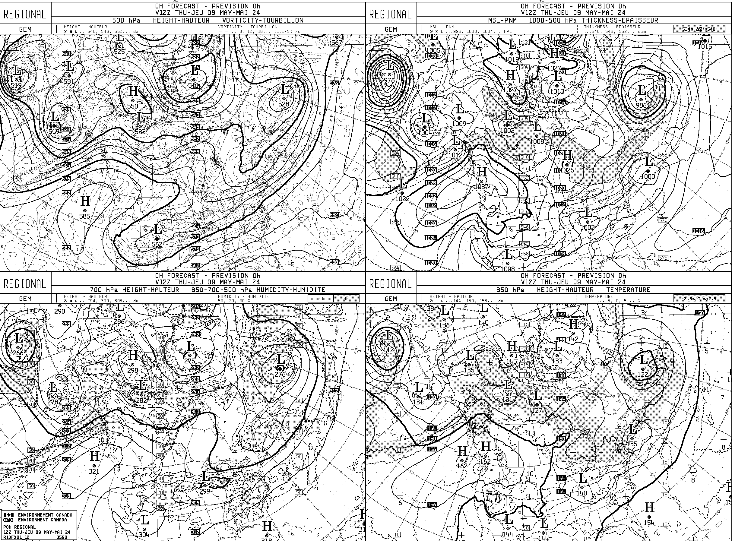
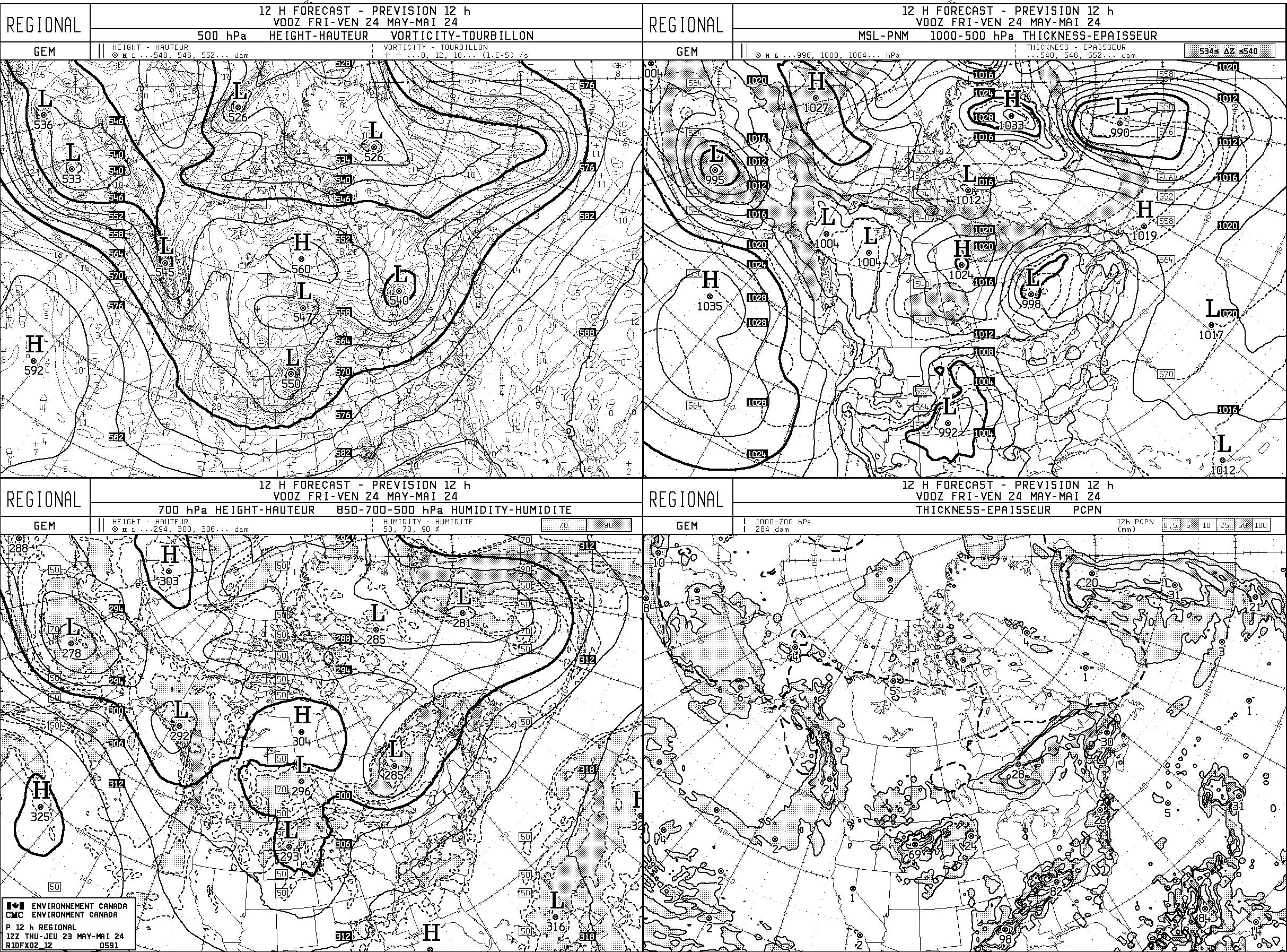
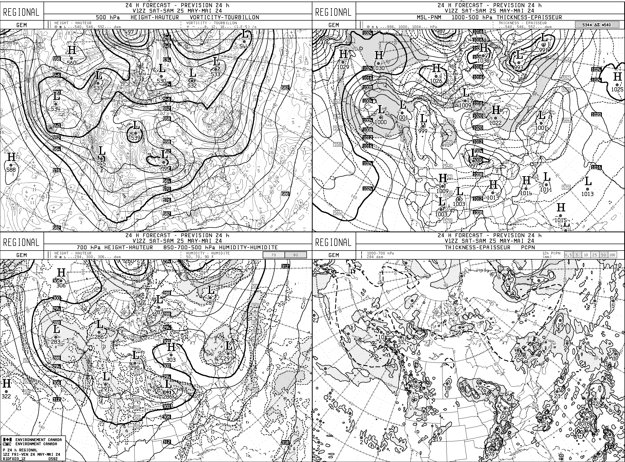
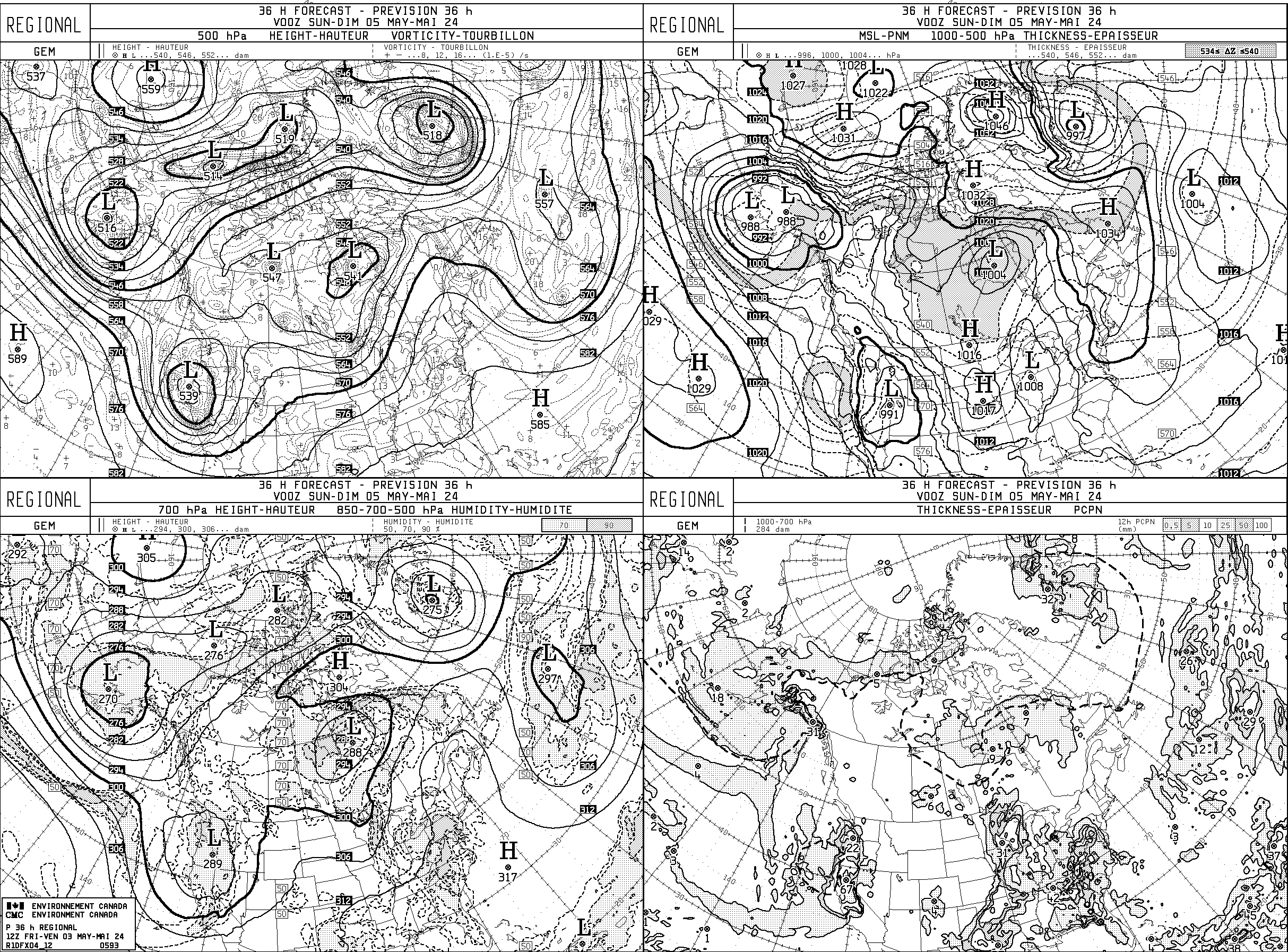
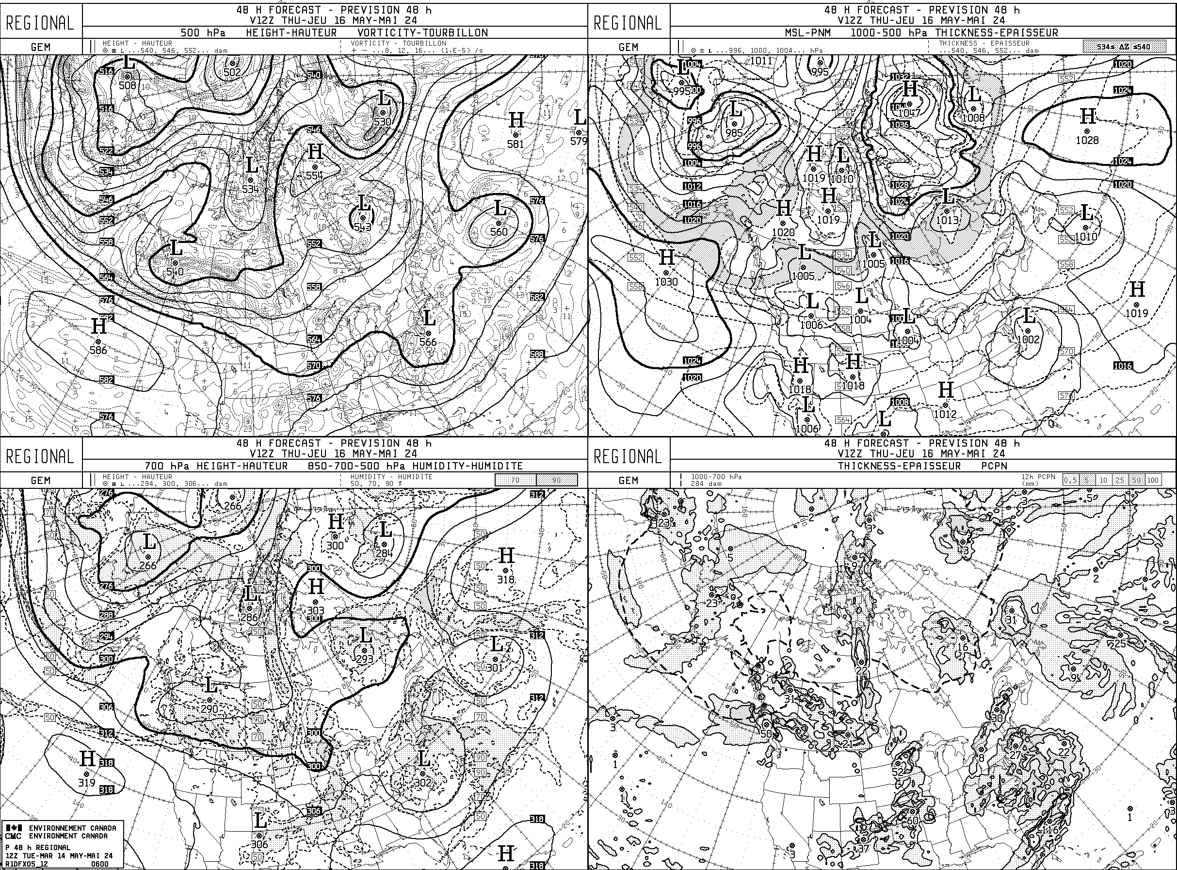
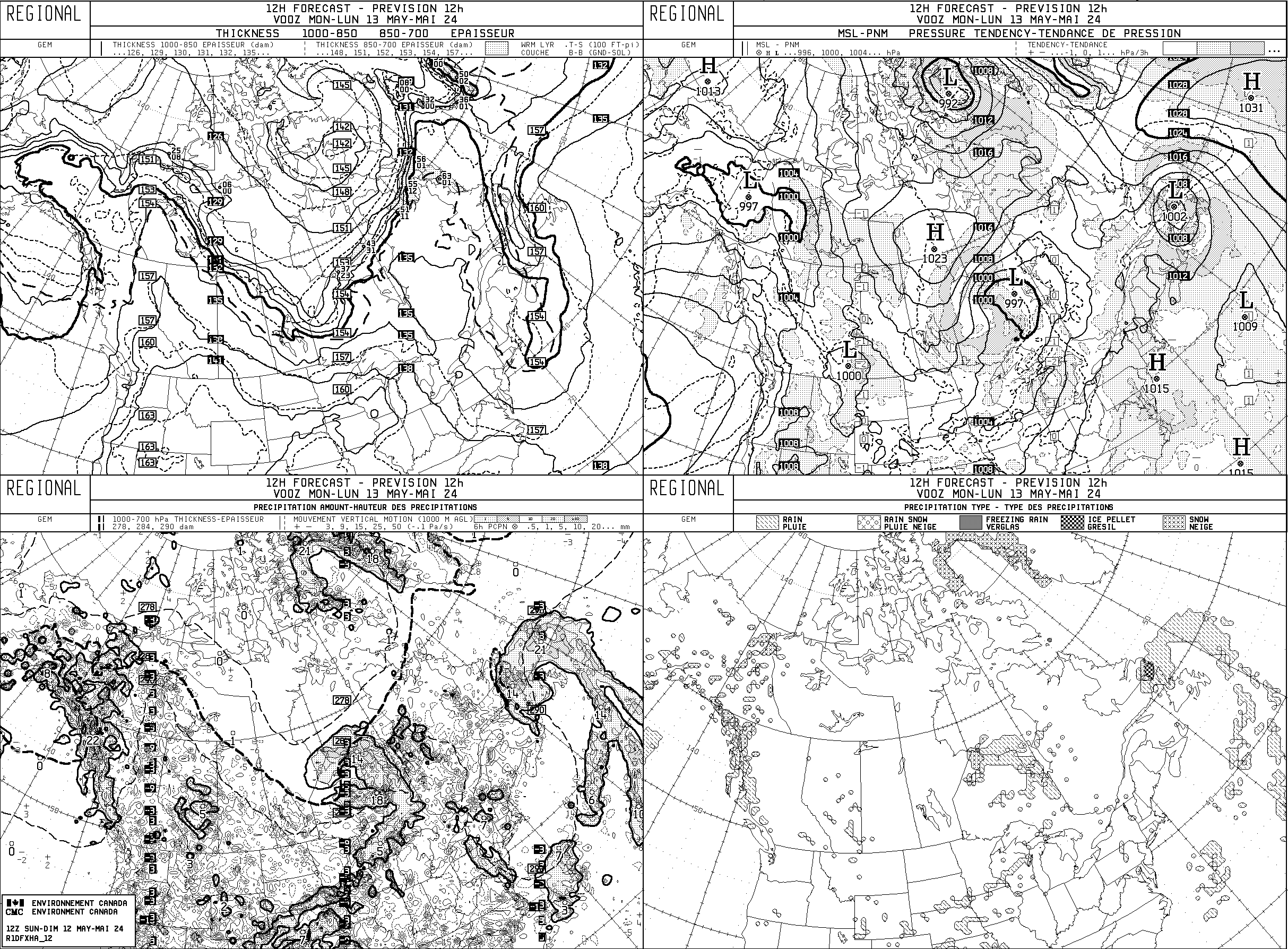
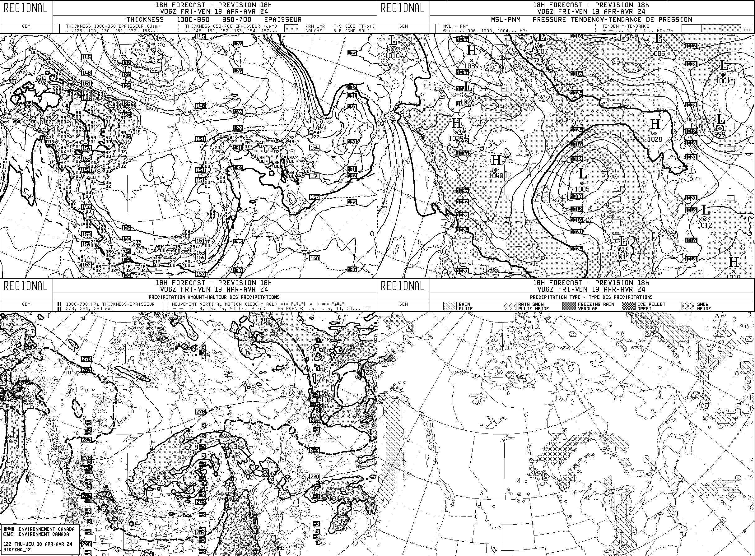
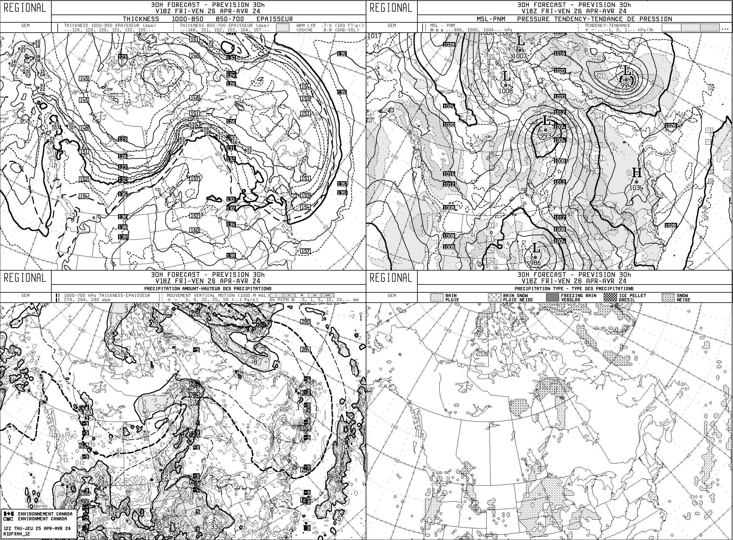
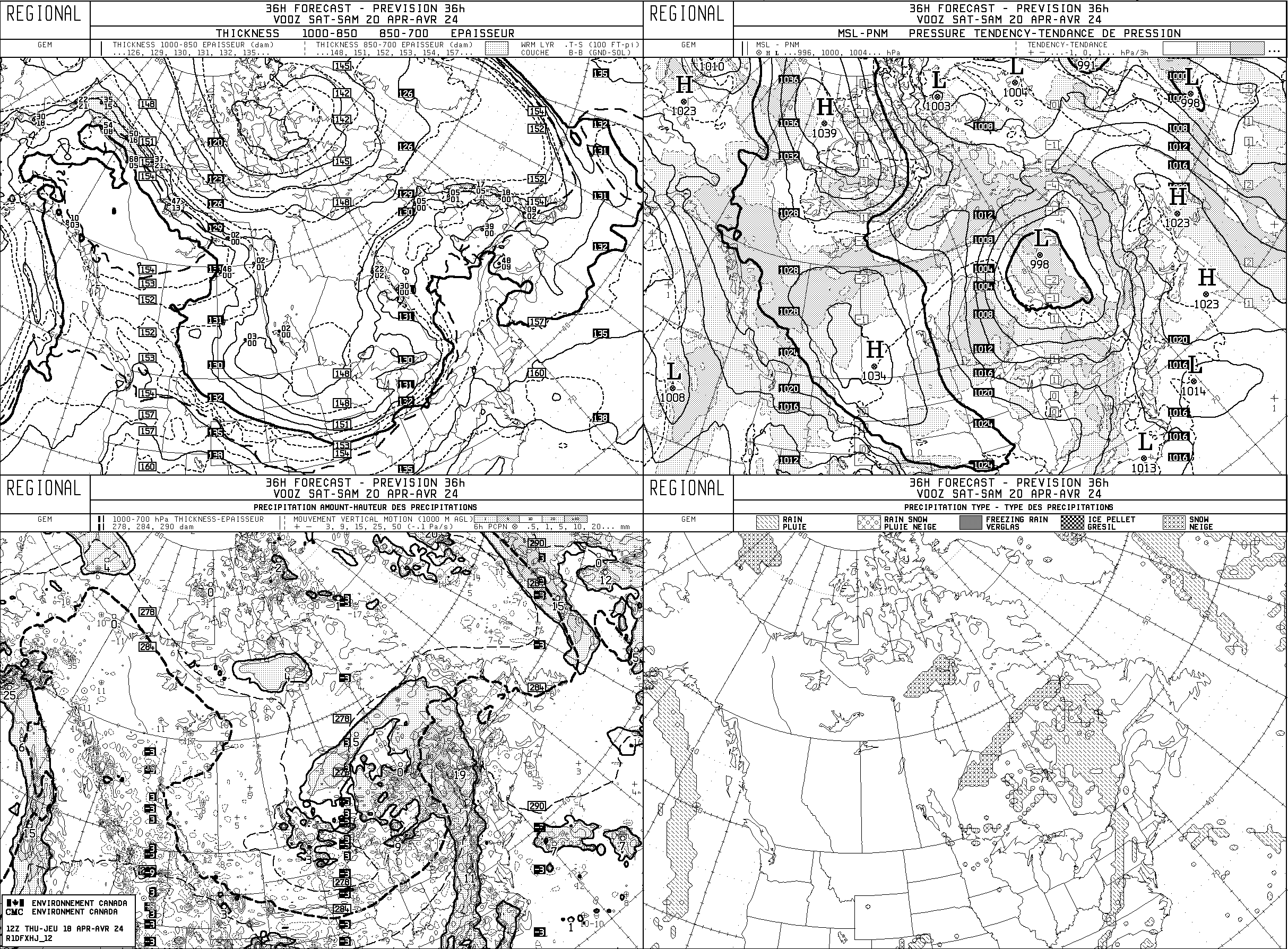
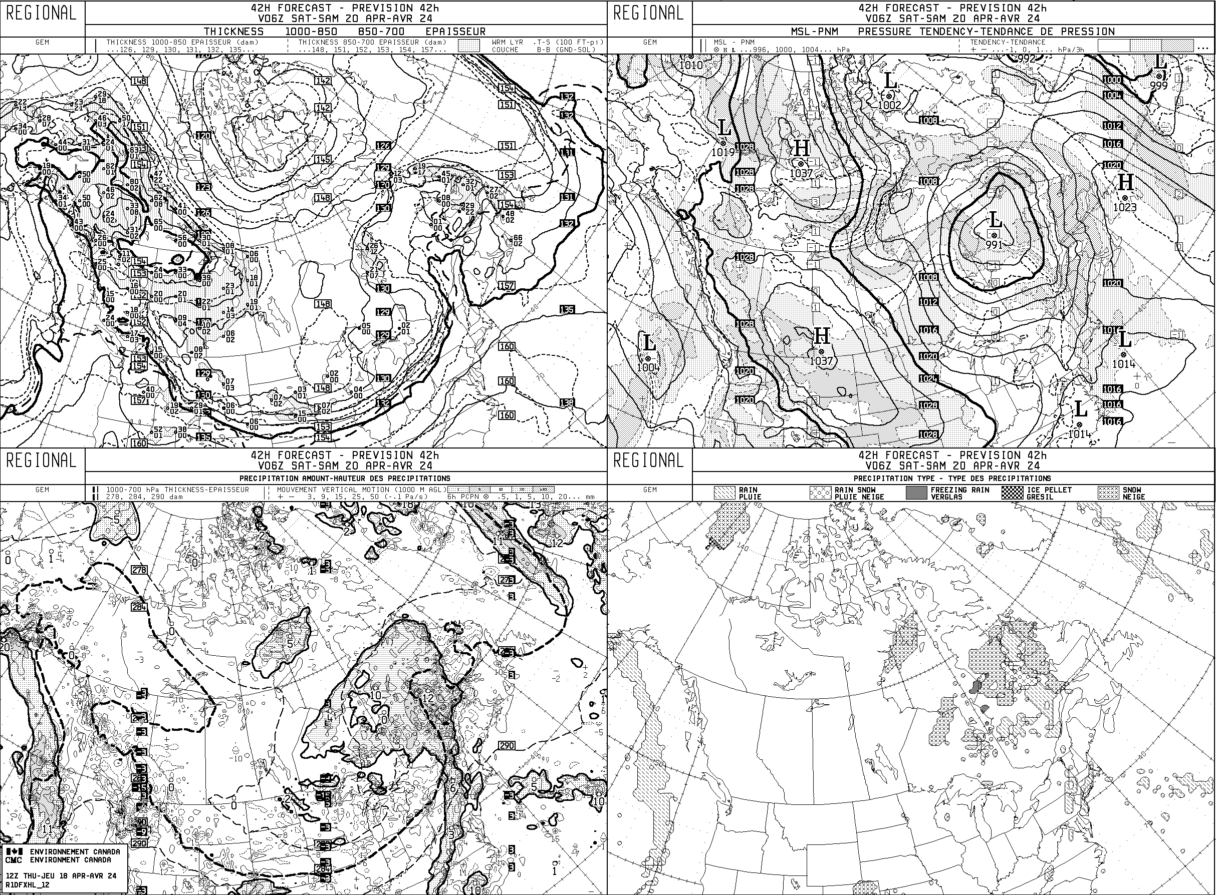
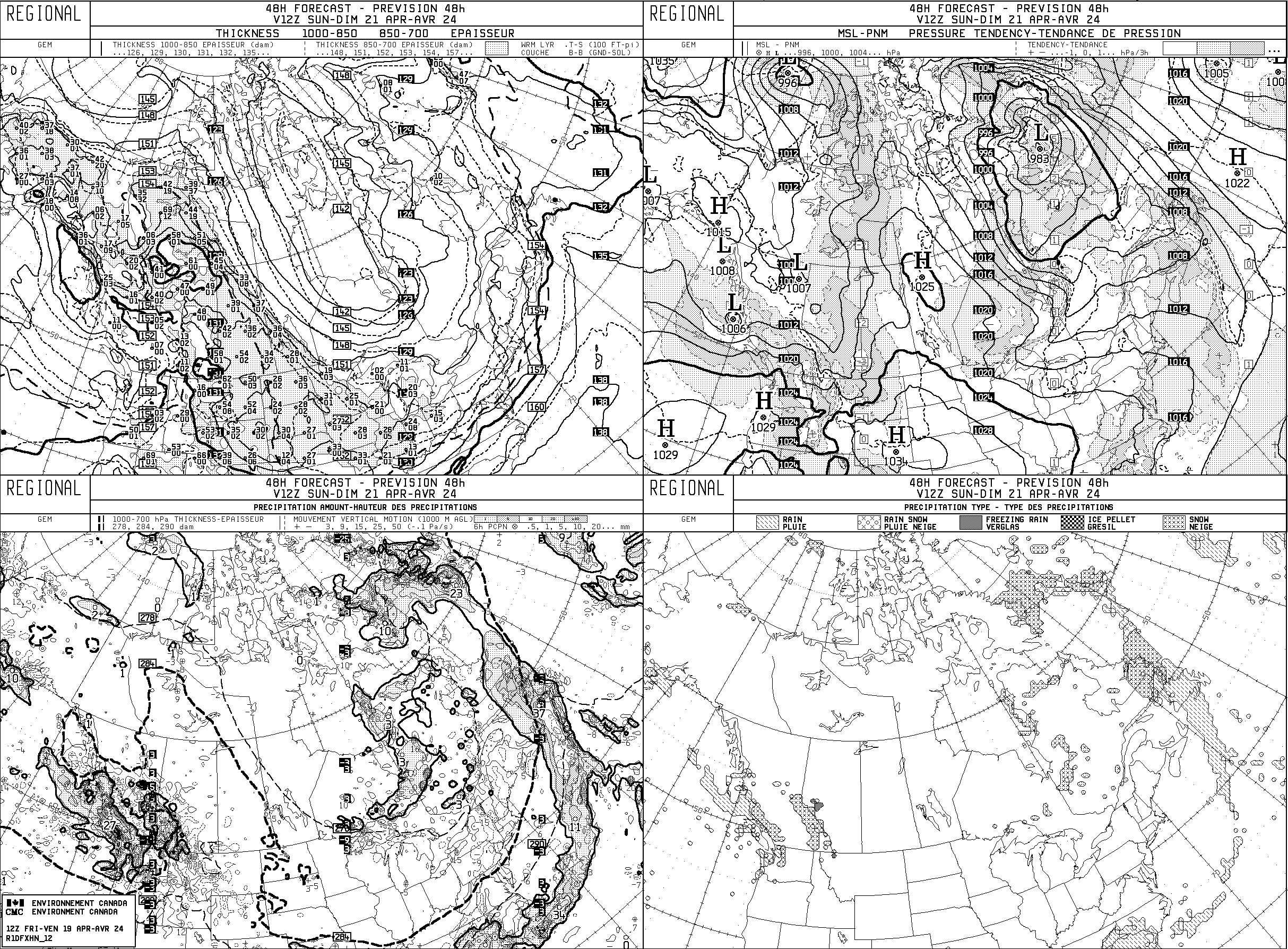
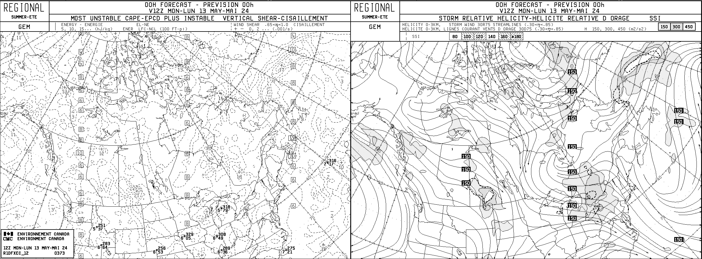
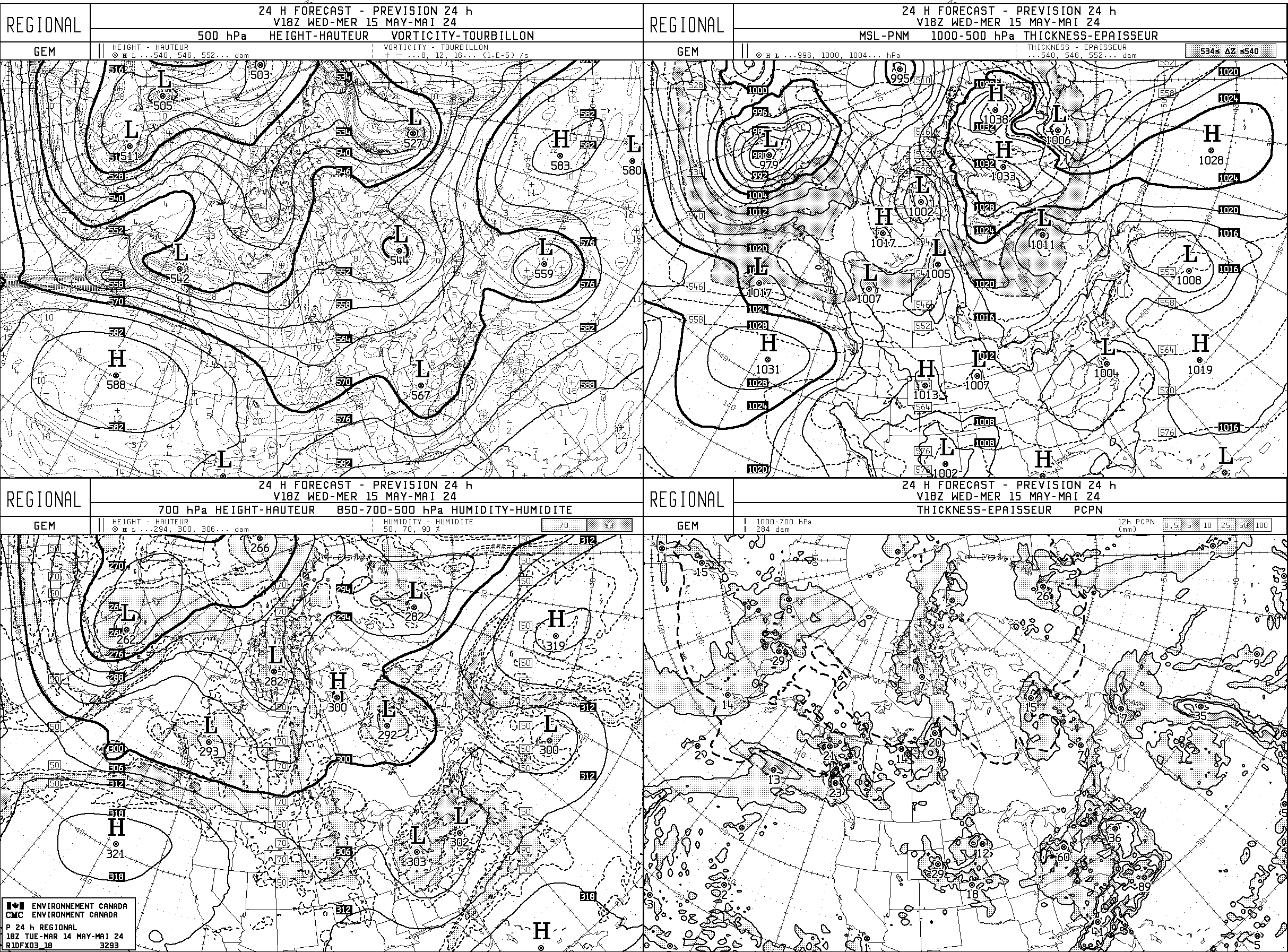
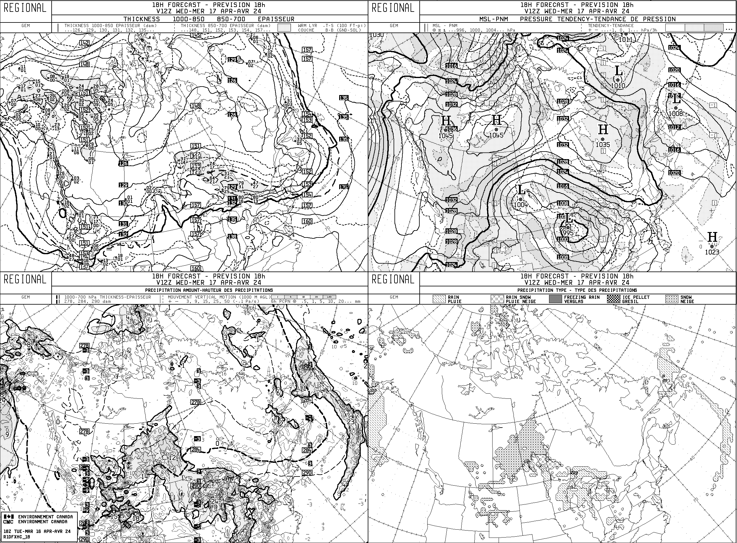
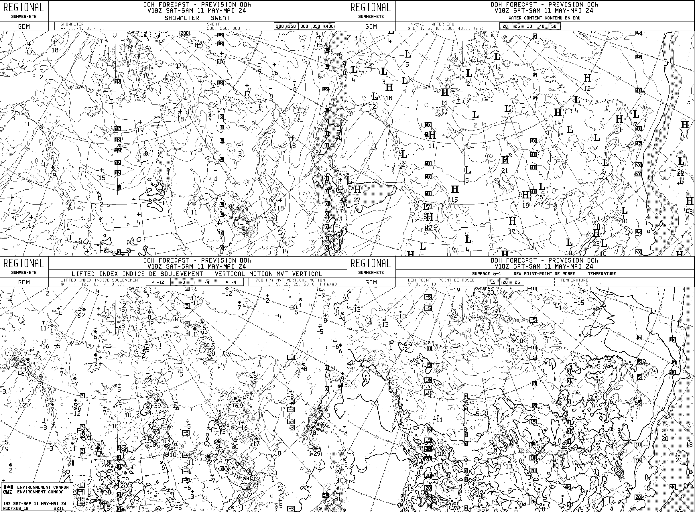
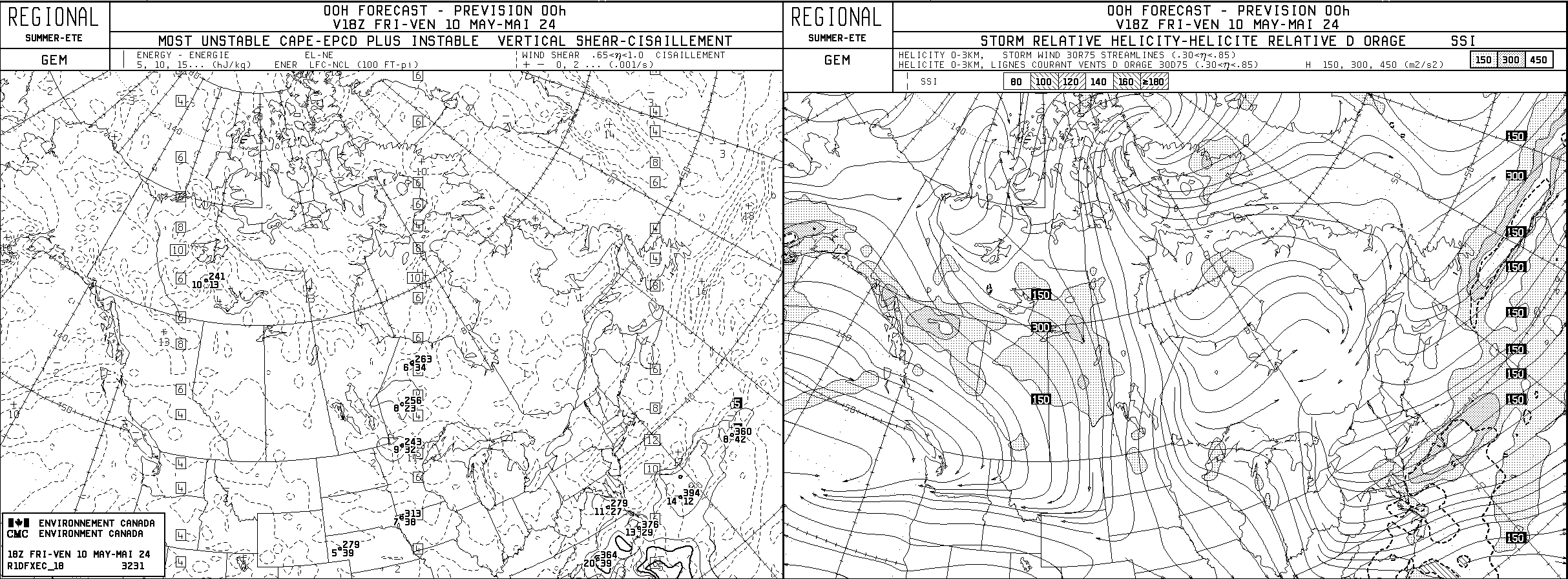
- GEM Regional 00Z
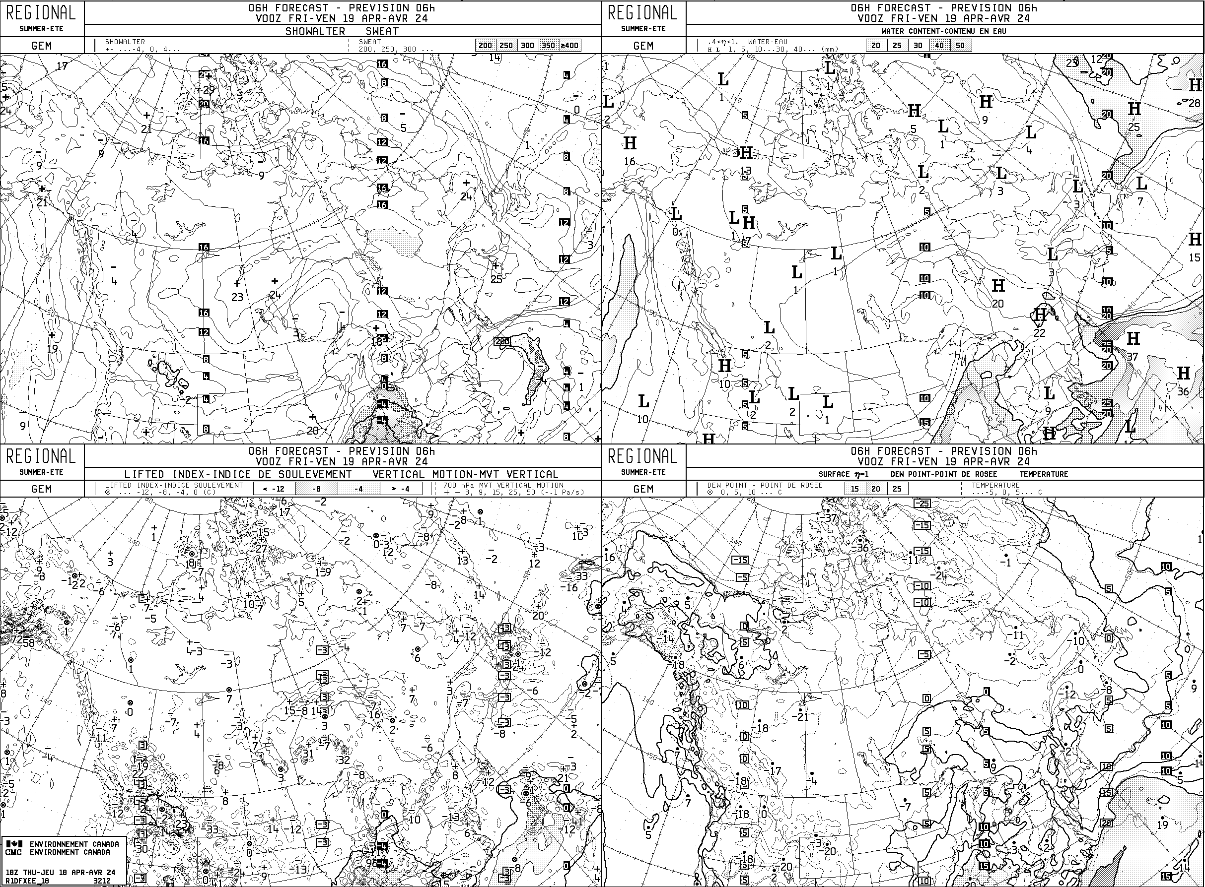
- GEM Regional 06Z
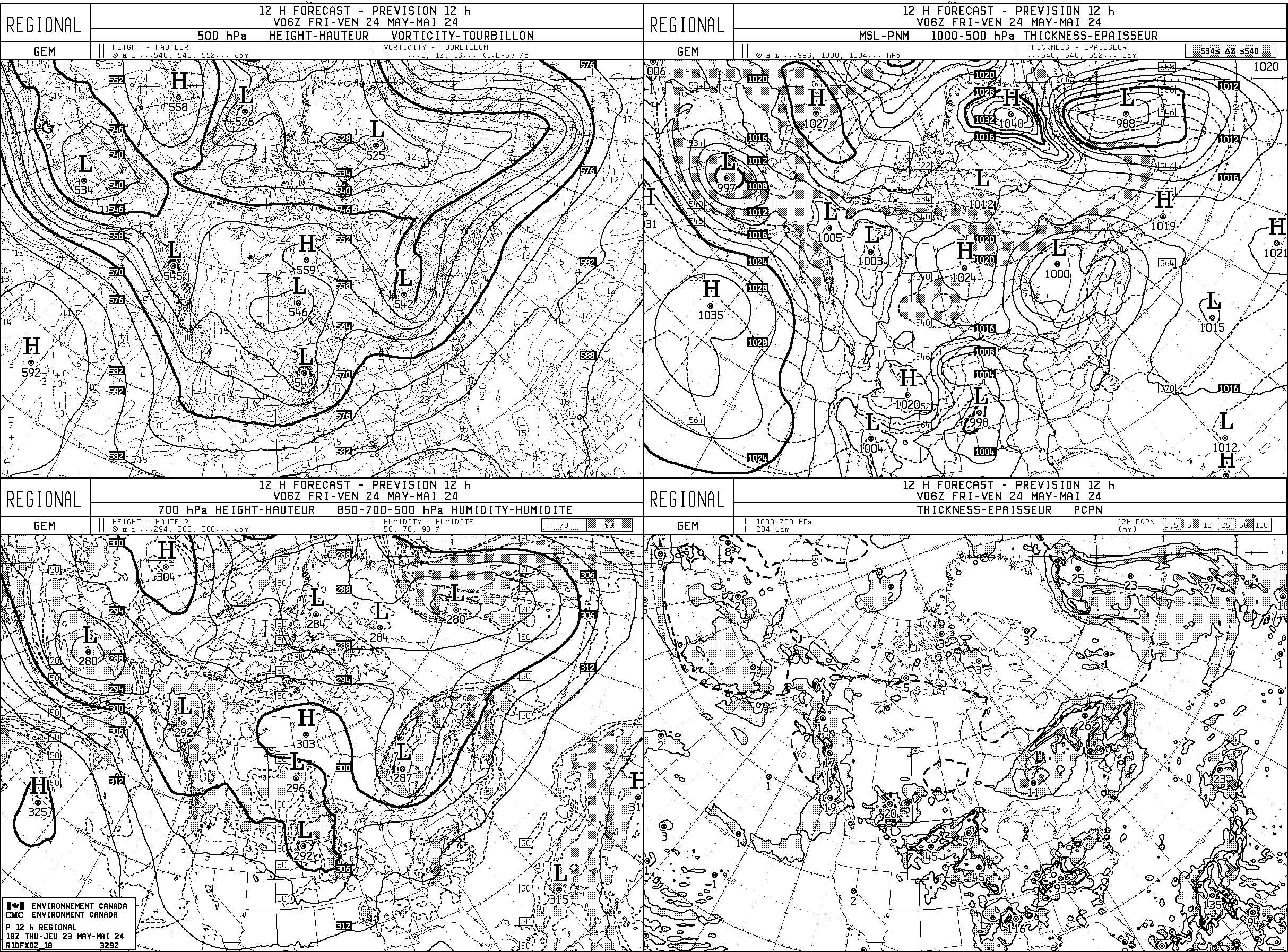
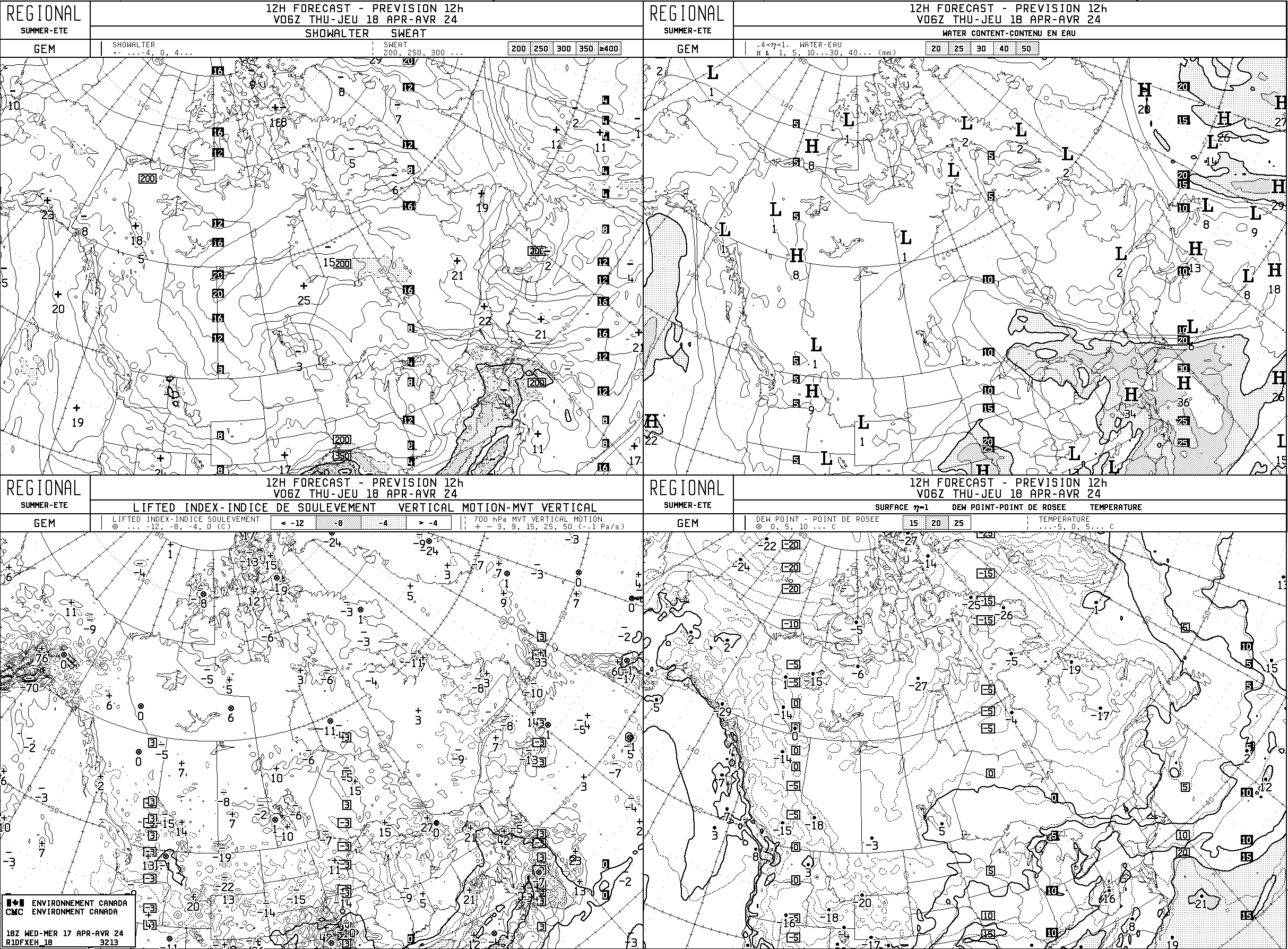
- GEM Regional 12Z
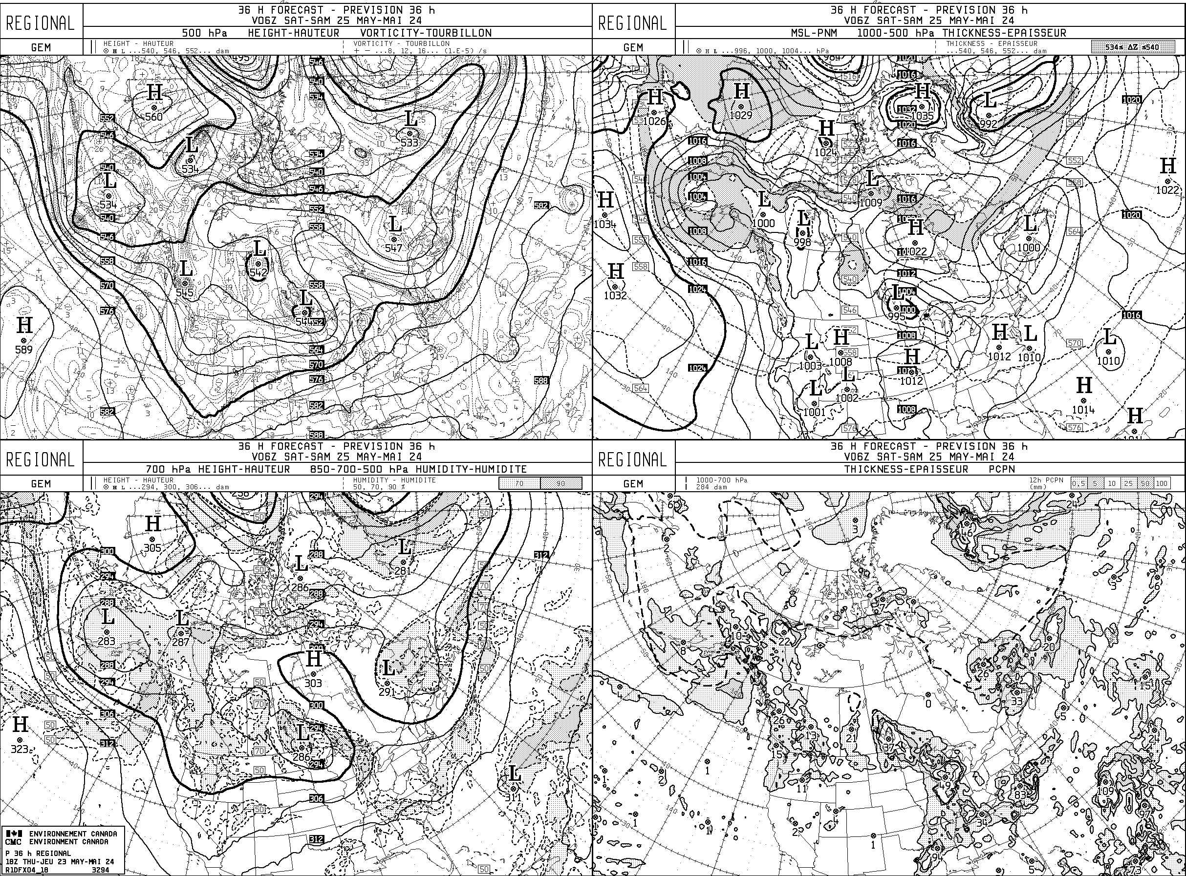
- GEM Regional 18Z
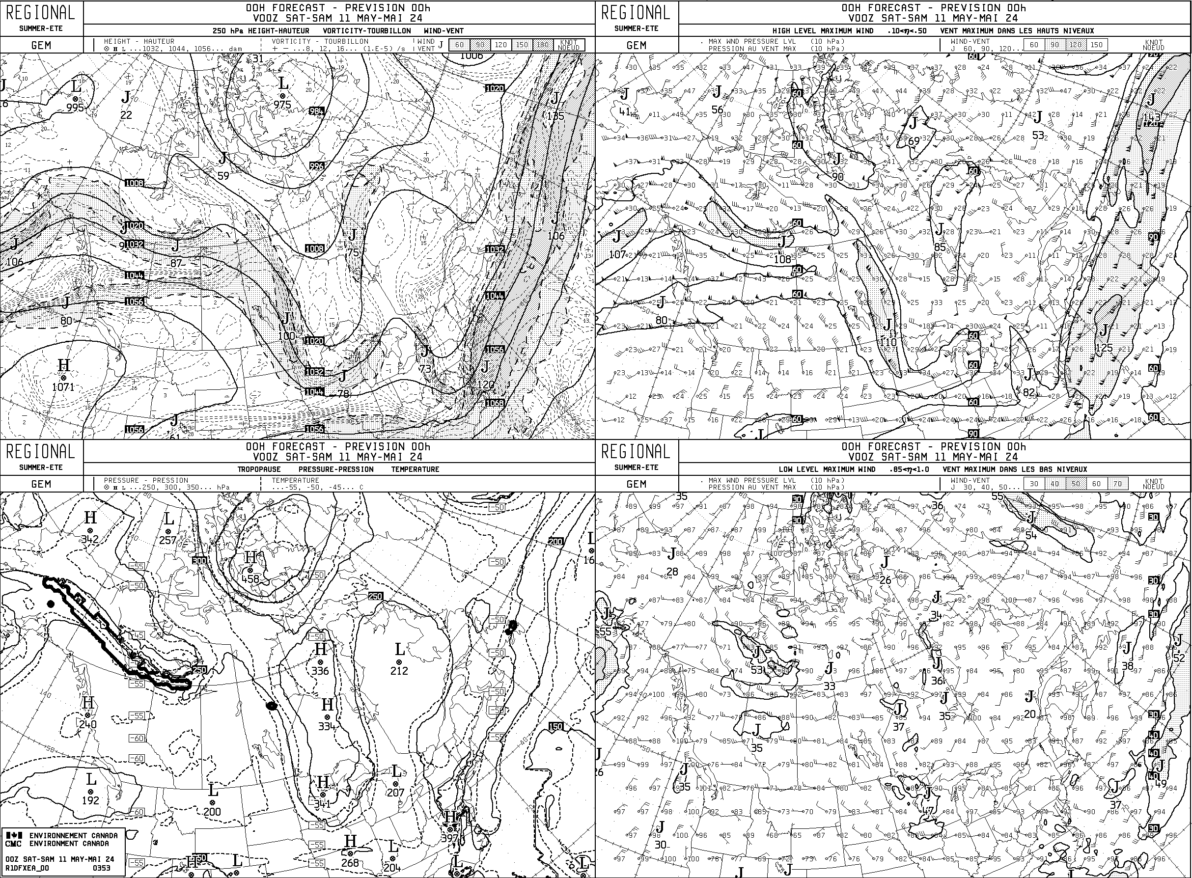
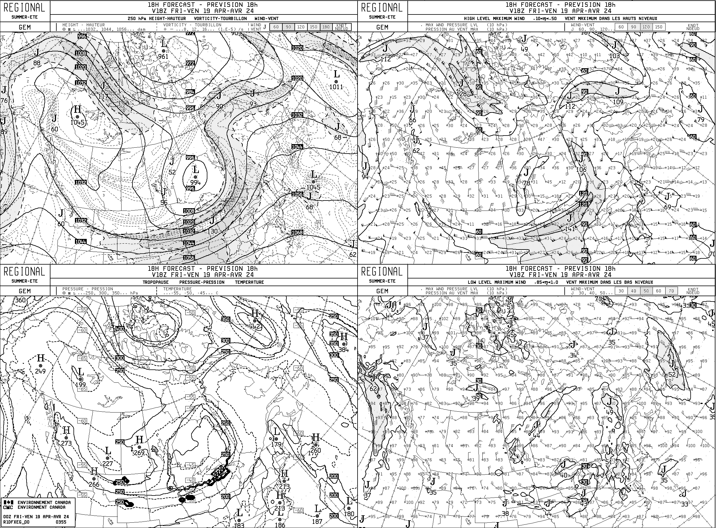
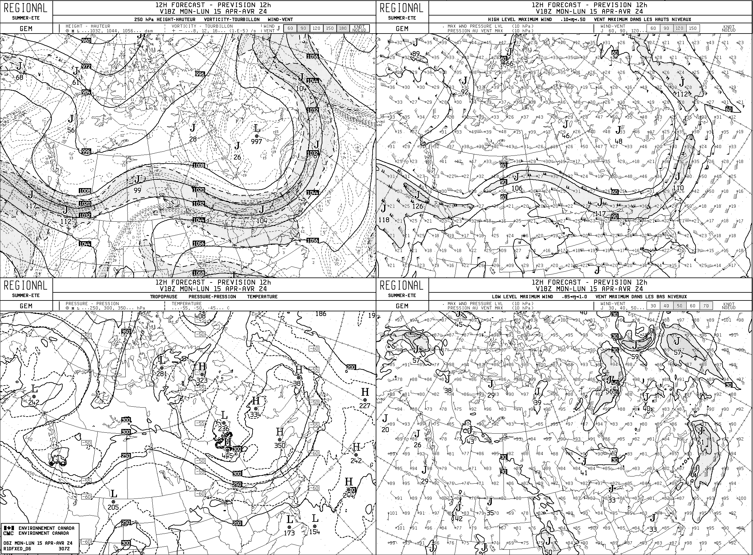
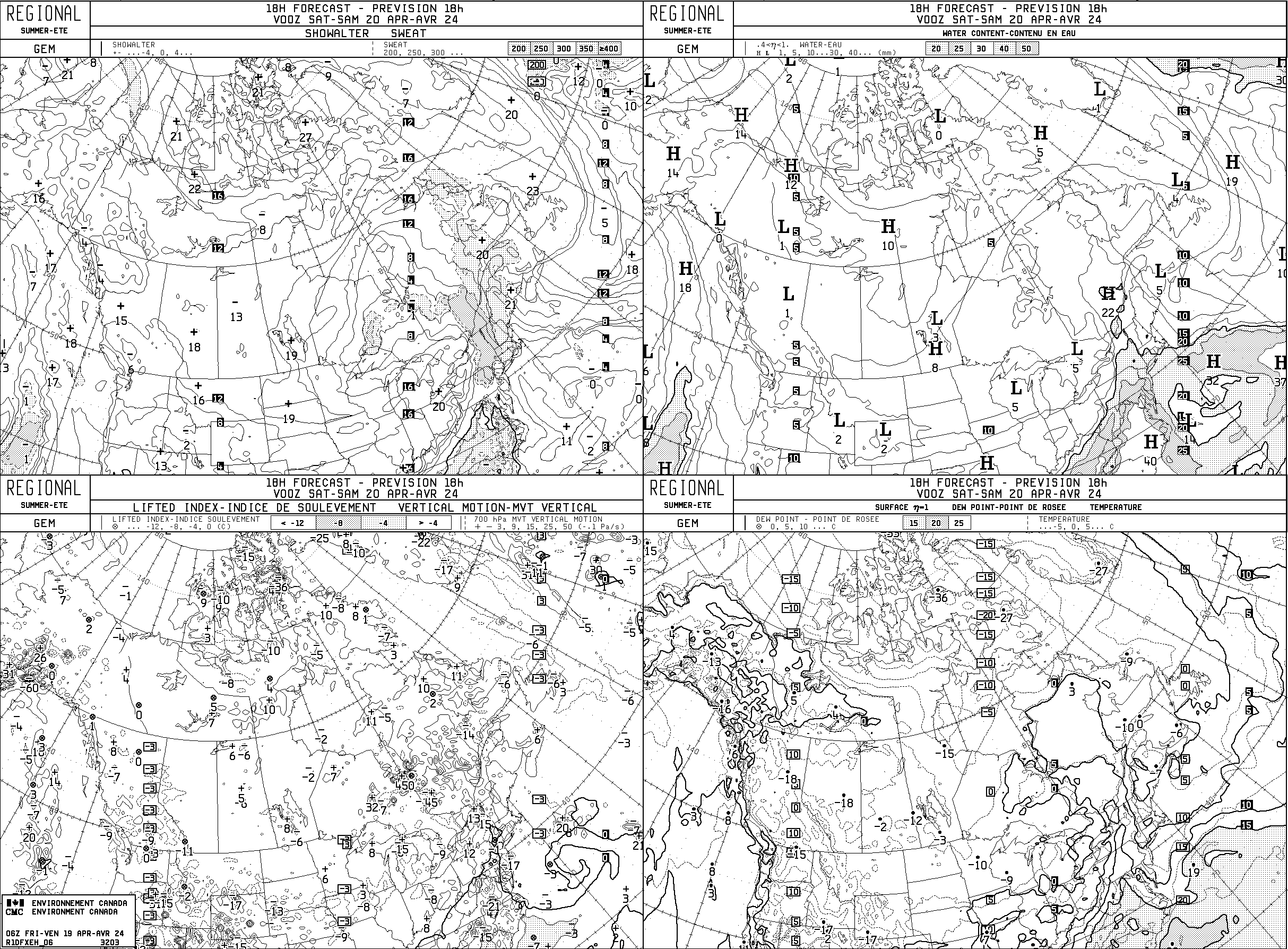
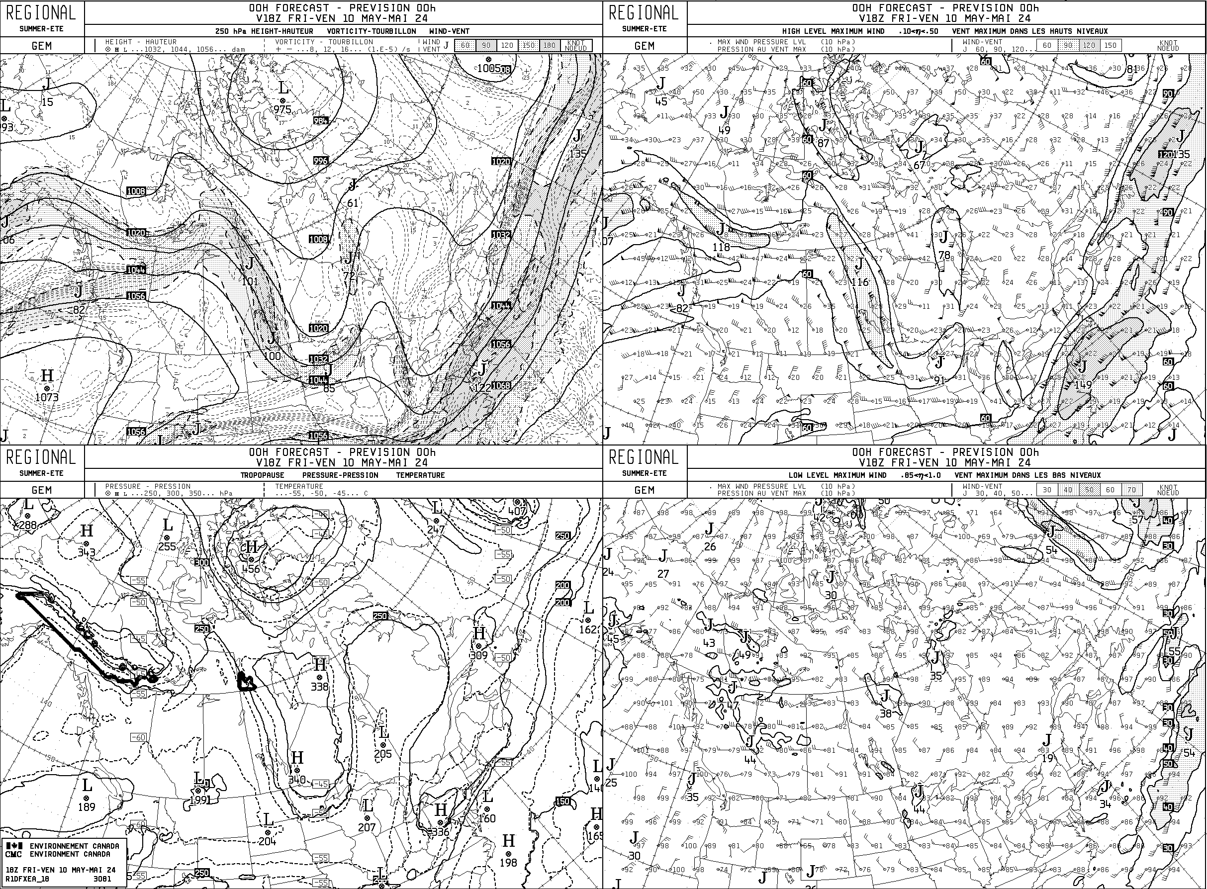
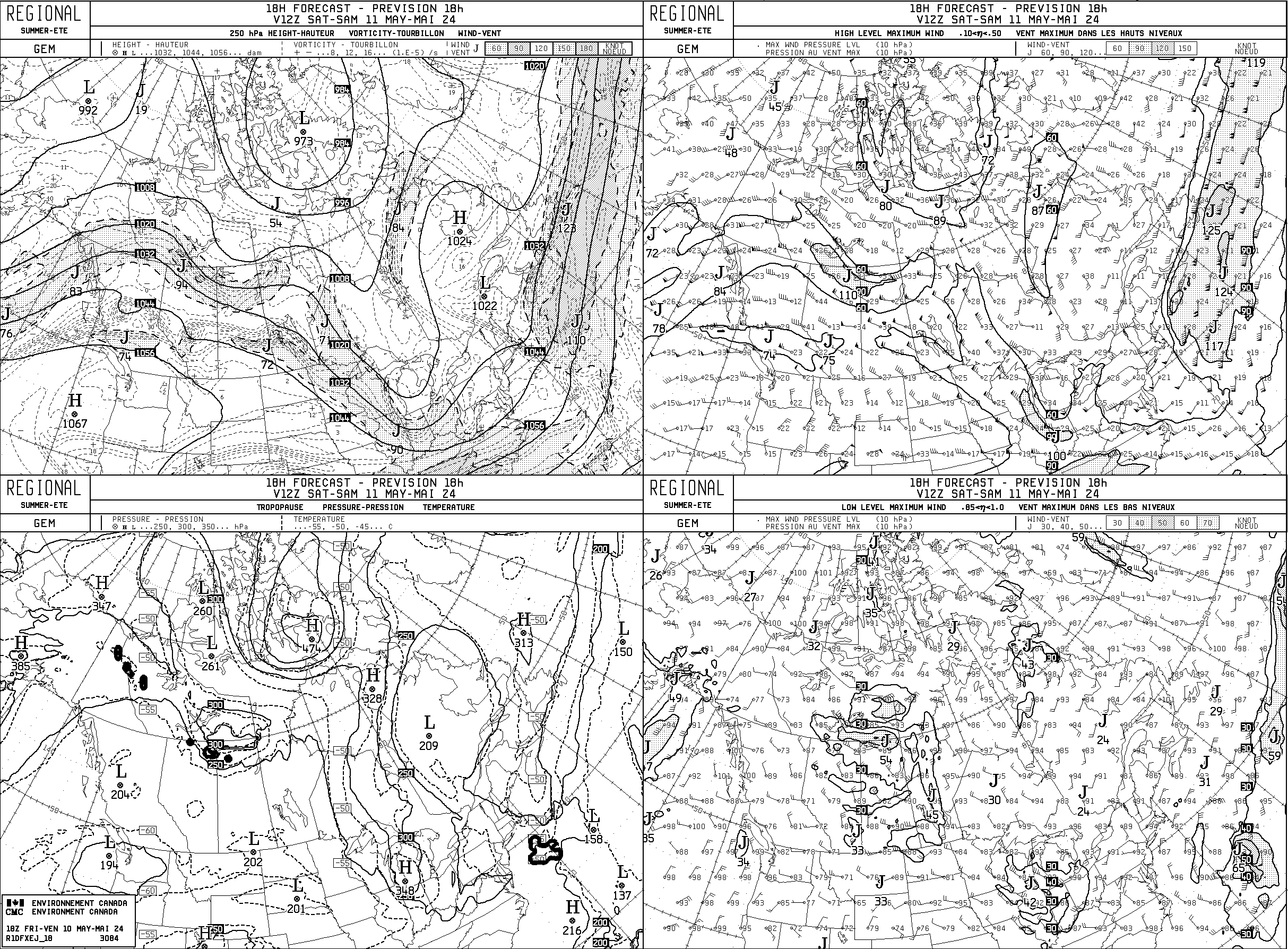
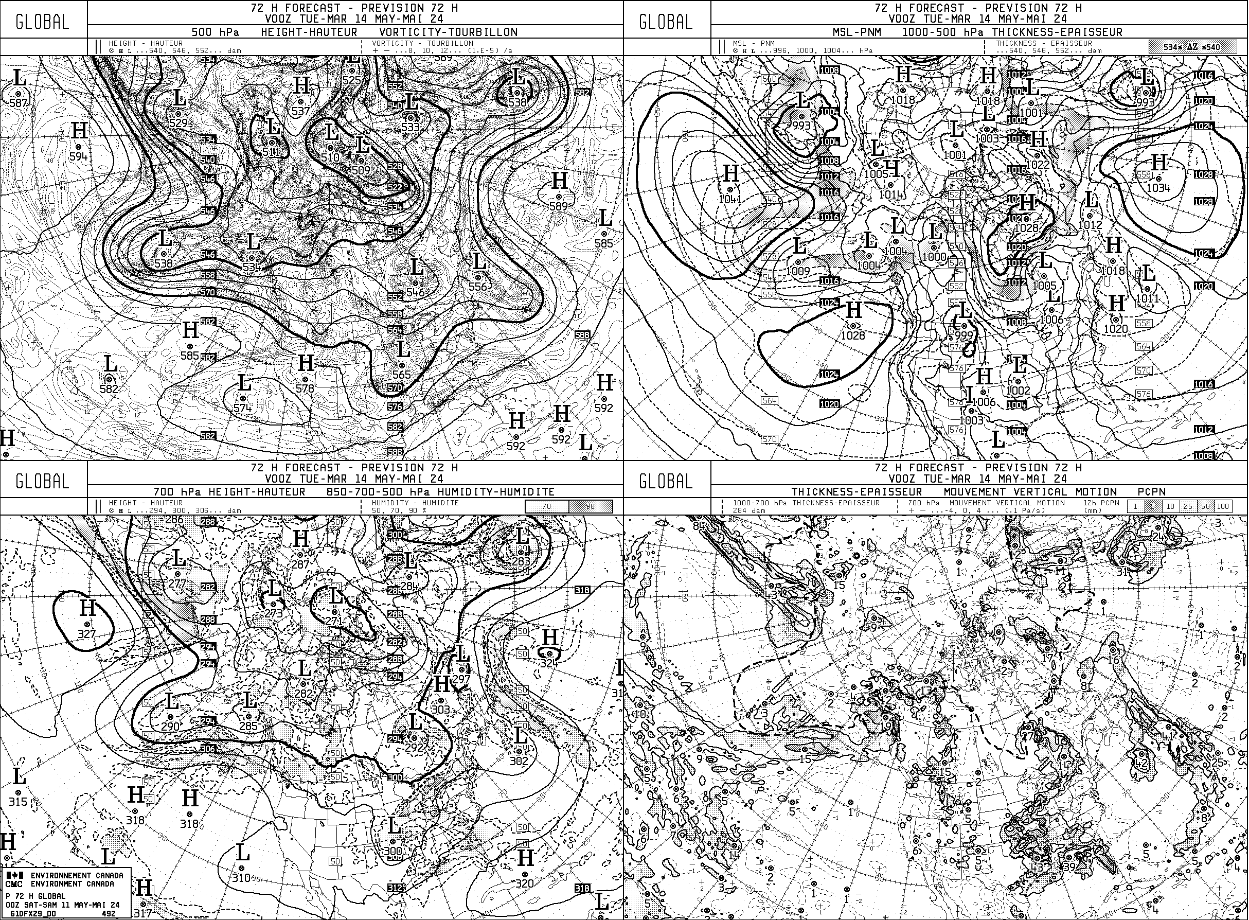
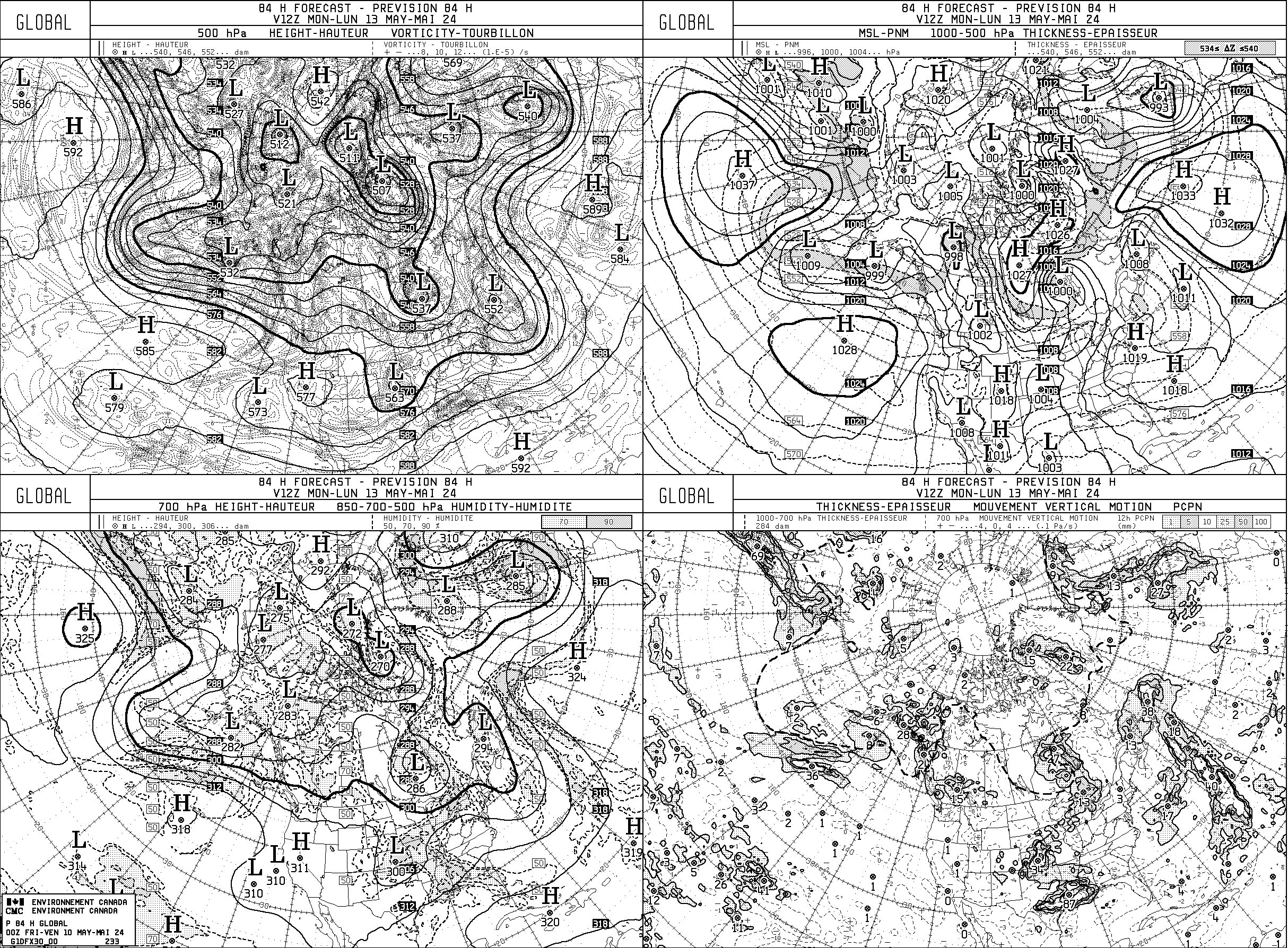
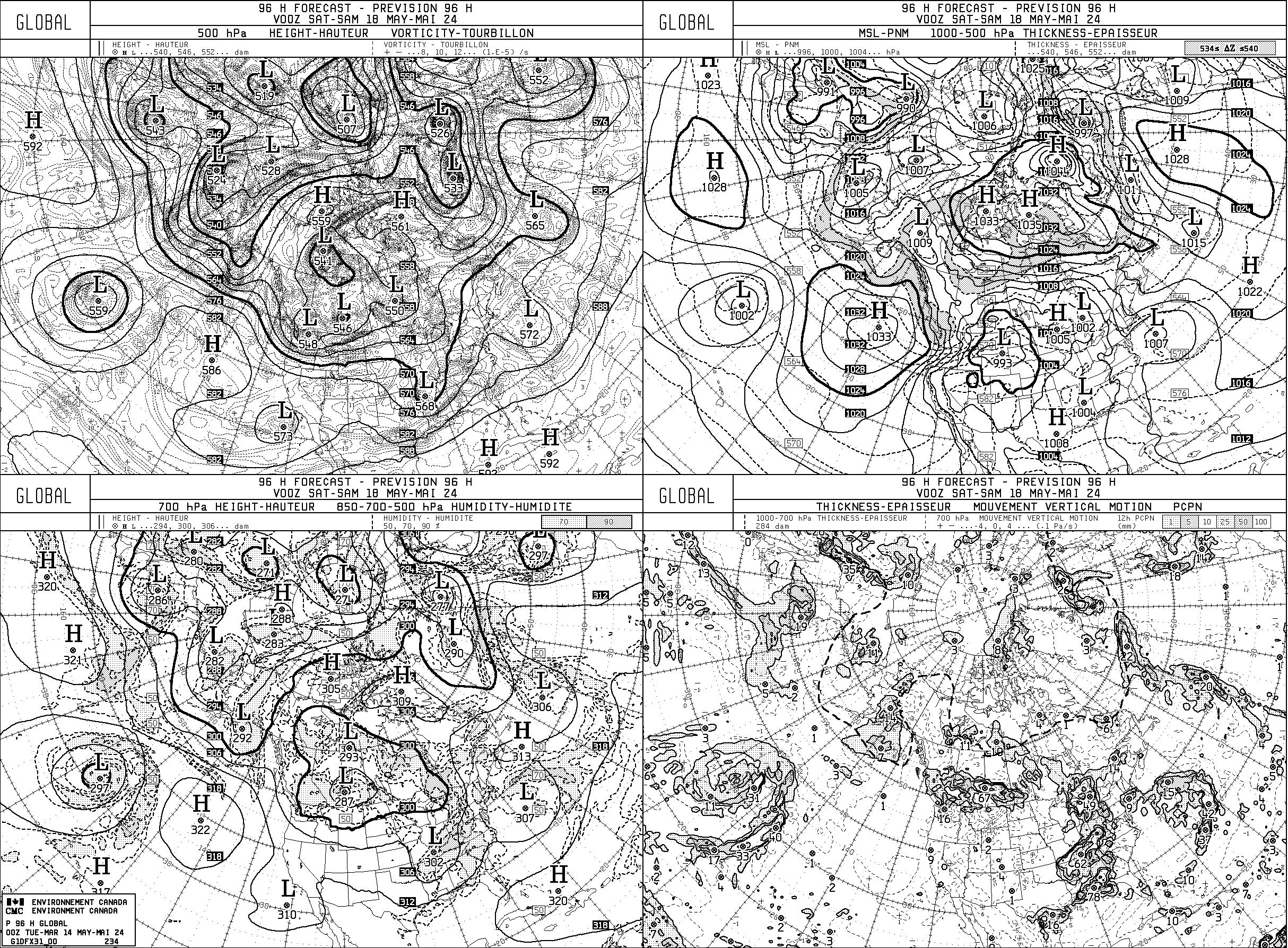
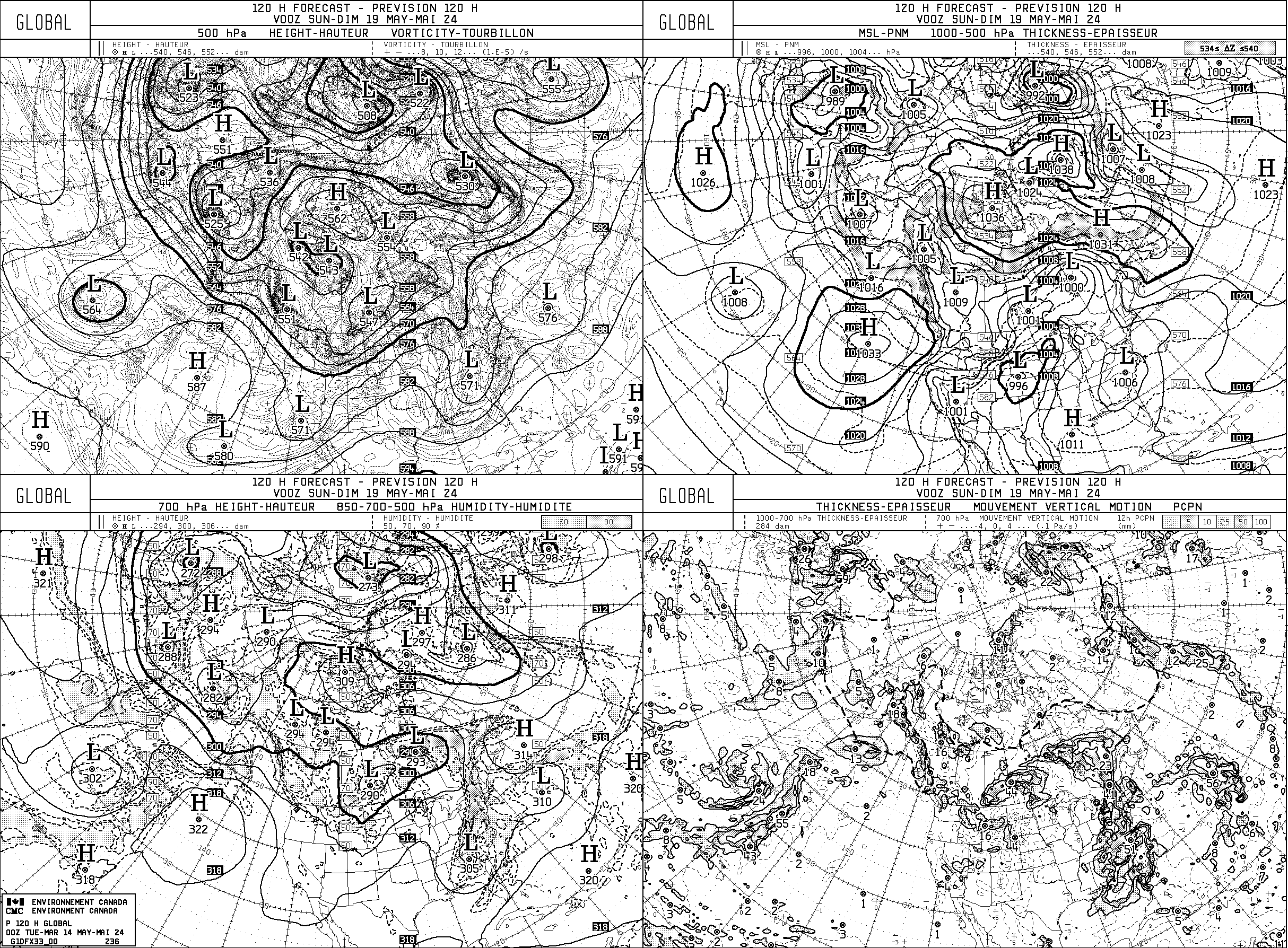
- GEM Global
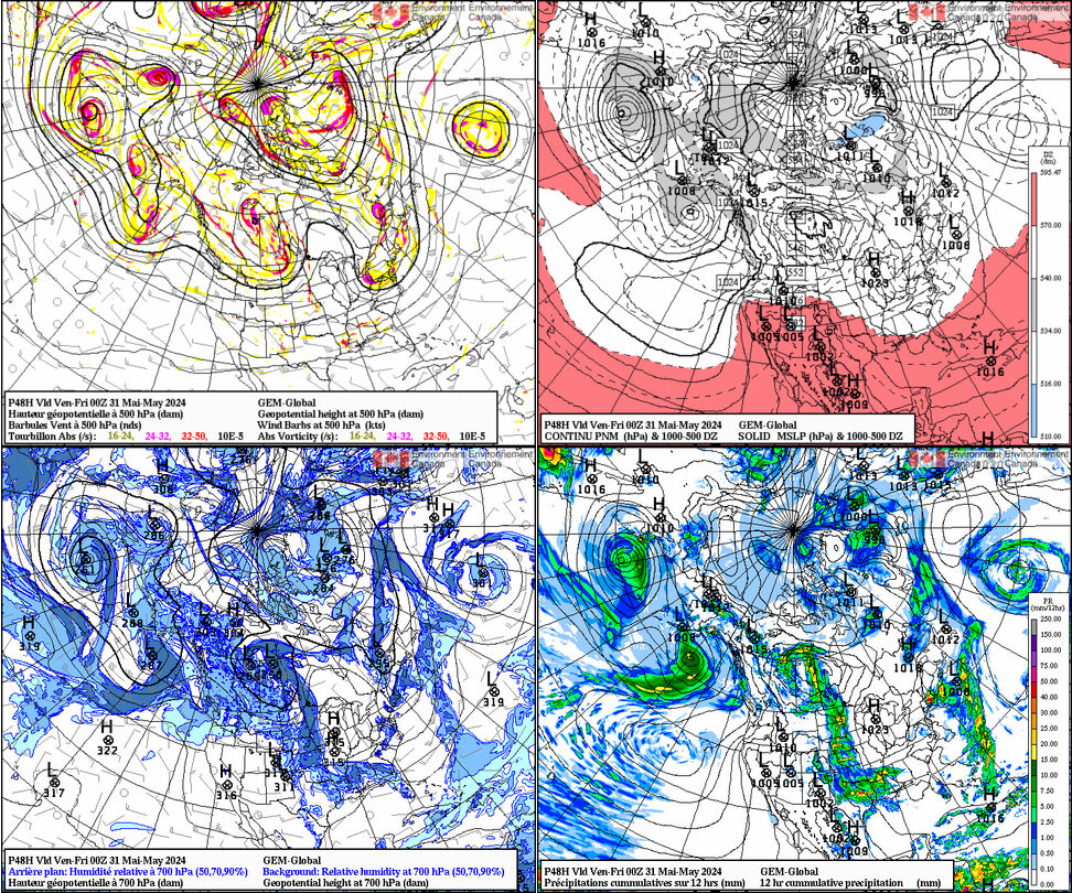
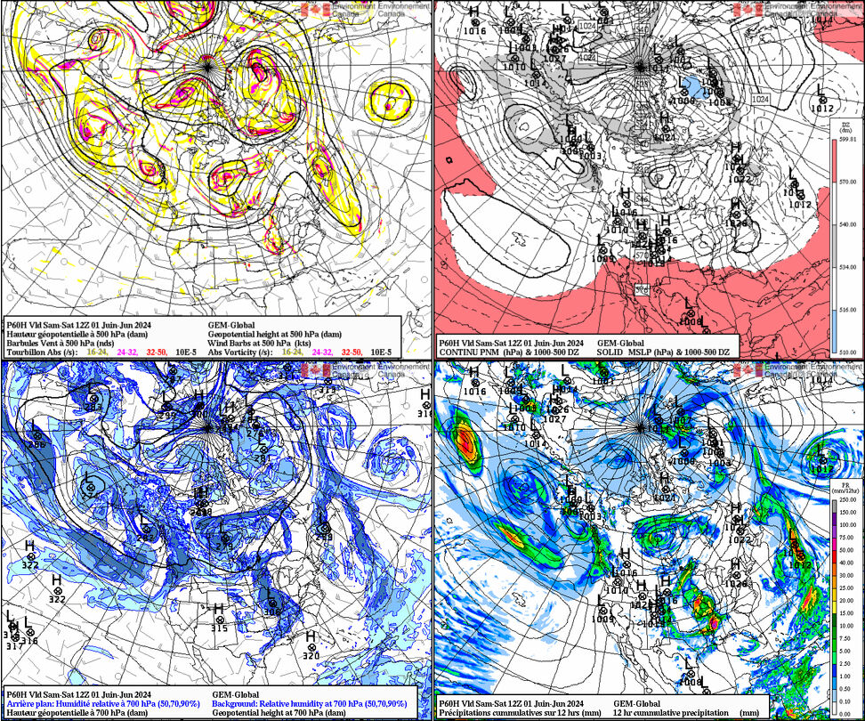
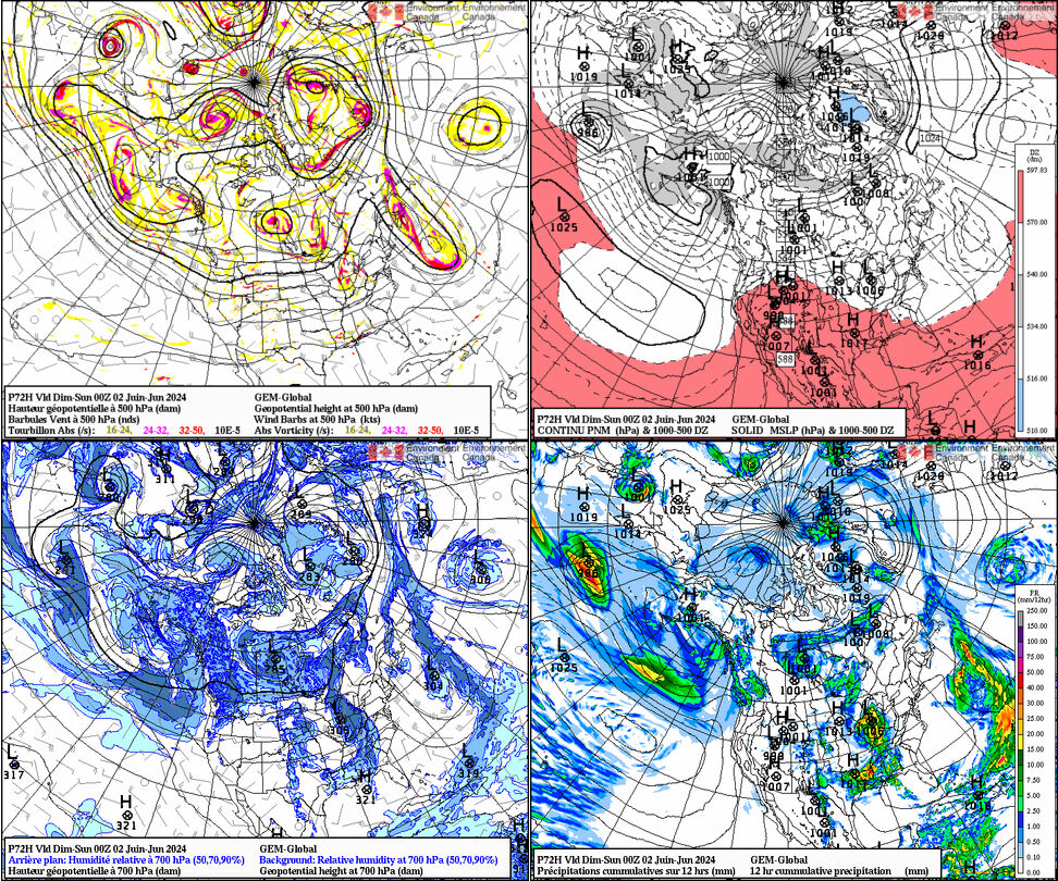
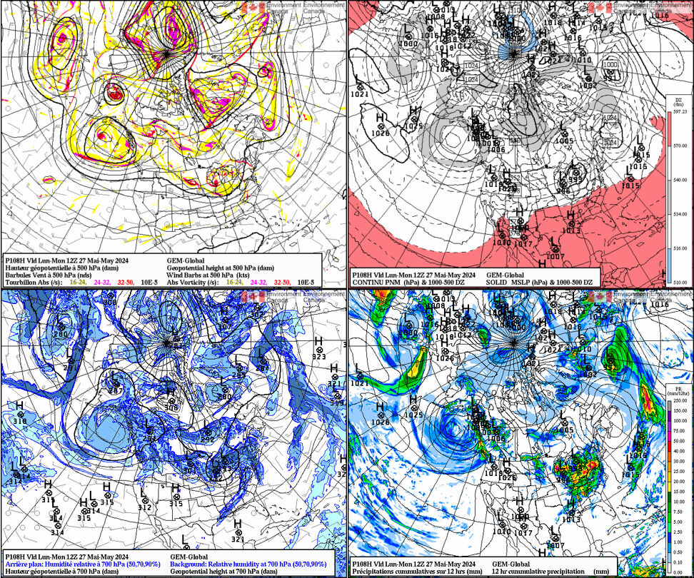
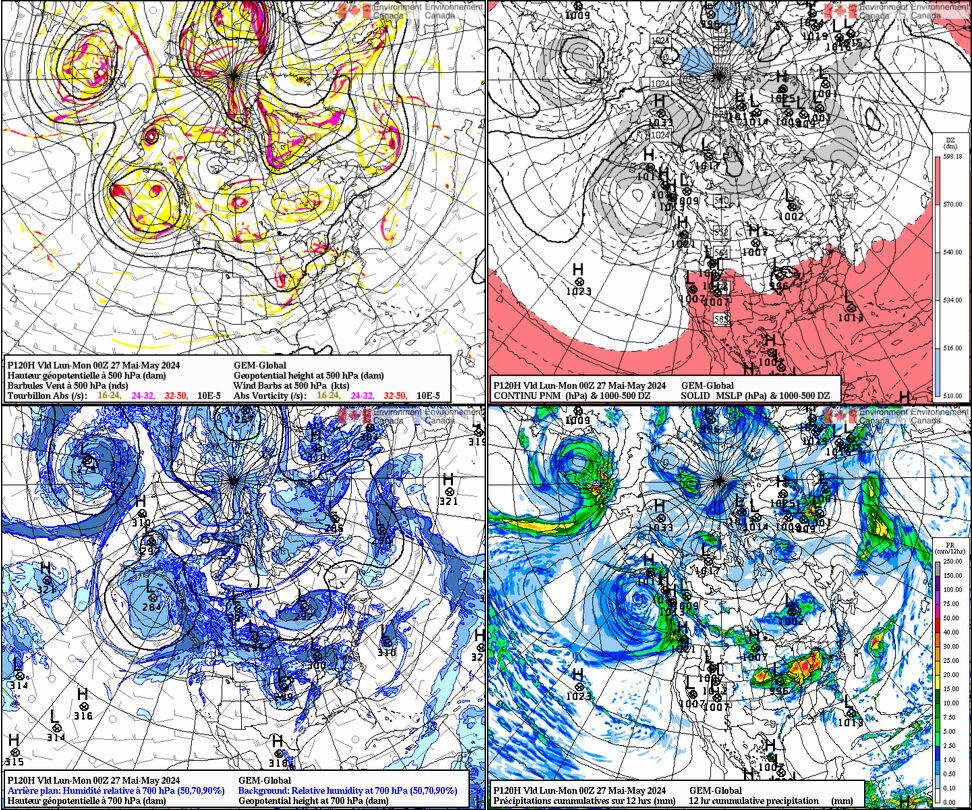
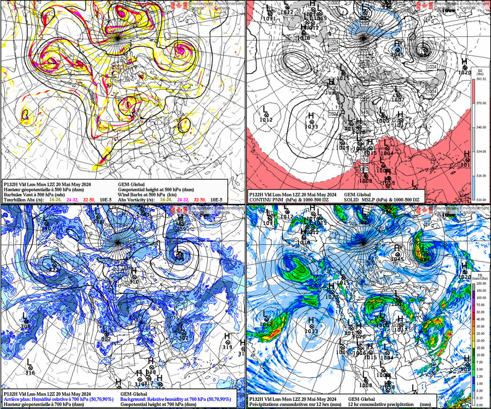
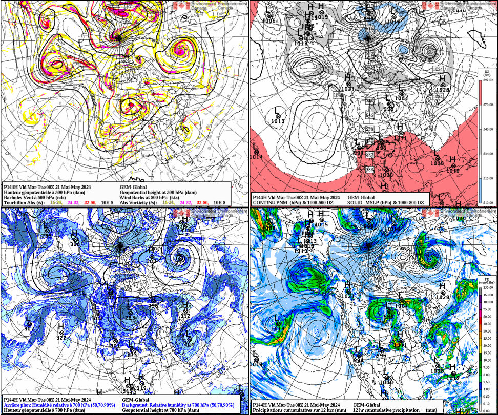
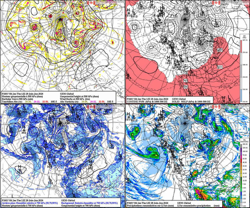
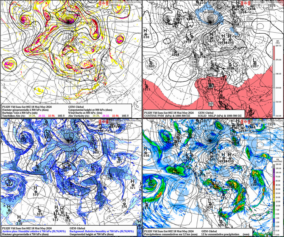
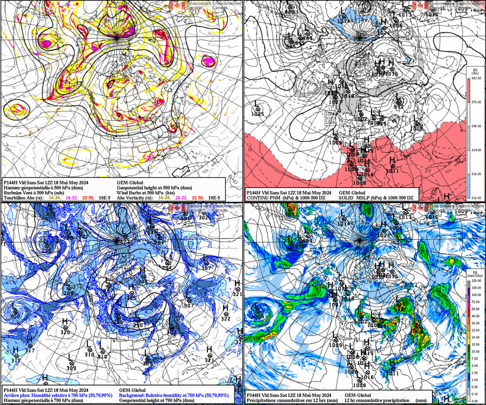
- GEM Global 00Z 4 panel classic loop 0h 12h 24h 36h 48h 60h 72h 84h 96h 108h 120h 132h 144h
- GEM Global 12Z 4 panel classic loop 0h 12h 24h 36h 48h 60h 72h 84h 96h 108h 120h 132h 144h
HRRR (high-resolution rapid refresh)
NAM/WRF-NMM
- 4 km WRF from NSSL
- 4 km WRF prog soundings
- NAM 1.5 km resolution nested run
- NAM convective forecasting page
- WRF-ARW experiment from UND
- Synthetic (forecast) satellite imagery from 4 km WRF (CIRA)
- WRF-ARW for southern Ontario
- Unisys
- NAM Meteograms
- University of Wyoming's NAM Charts
- NAM precipitation typing meteograms
- Many charts and chart types from WxCaster
- Arctic WRF
ECMWF
- WUnderground ECMWF
- Norwegian meteorological institute
- 9-panel 500/sfc from UQAM includes Day 10 500 mb hgts
- ECMWF home
- Weather.us
GFS
RAP
Convective model output
- GFS convective parameters
- RUC and NAM convective parameters
- NAM (primarily) convective output
- NAM convective (from NCEP)
- CMC convective
- GFS convective forecasts for Australia
- Convective development nearcasting model
Model soundings
- Earl's skew-t charts (NAM, meso-ETA, GFS)
- Soundings from various American models
- NAM point-and-click soundings
- Model soundings from NAM, RUC, NGM, GFS, and UKMET
- 4 km WRF soundings
- 4 km WRF soundings with NSharp analysis
- Model soundings from the RAP
MOS/UMOS/PP/analog guidance
Ensemble model output
- NAEFS (from CMC)
- SPC's high-res ensemble forecast (HREF)
- NAEFS (from NCEP)
- CMC's ensembles
- NCEP's ensembles
- SPC's short-term ensembles
- SPC Storm Scale Ensemble of Opportunity
- SPC SREF plumes
- NCAR WRF ensemble output
Model comparisons
Information integration data links
Data displays
Tropical storm links
- Canadian Hurricane Centre
- National Hurricane Center
- Tropical Tidbits
- Storm surge probabilities
- Tropical Atlantic
- Weather Underground tropical
- COLA maximum hurricane potential intensity
- Tropical cyclone heat potential
- Earth Scan Laboratory
- Hurricane Track
- Skeetobite Weather
- CIMSS tropical page
- Tropical guidance
- University of Hawai'i tropical page
- Unisys tropical page