
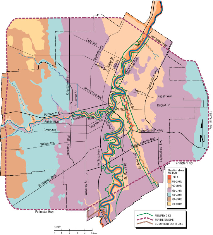
and Elevations The map below details the elevations of Winnipeg and the city's various protections against the Red River flood waters.
To see a particular section of the map in greater detail, please use your mouse to click on the appropriate quadrant.
|
Map courtesy of the Winnipeg
Free Press (29 April 1997) 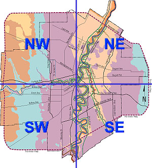
|
|
||
|
|||