
UNSTABLE Domains
General Study Area
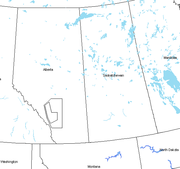
The general area of study for the UNSTABLE project is over the Alberta foothills west of a line from Red Deer to ~ 75 km south of Calgary. This area has long been associated with the frequent occurrence of severe thunderstorms.
Primary and Secondary Domains
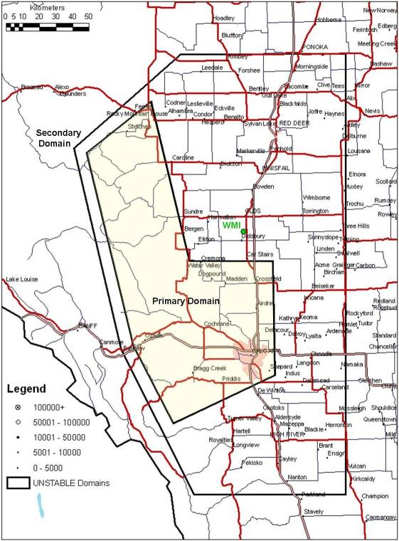
The UNSTABLE study area consists of two domains. These domains (click on figure for full-sized map) were selected with the following in mind:
- Climatologically active areas for CI and severe thunderstorm events and the associated socio-economic impacts of proximity to the Edmonton-Calgary corridor
- Known genesis areas for the dryline and other mesoscale convergence boundaries associated with CI in the foothills
- To incorporate existing surface station and radar observation networks
- Suitable roads for mobile observations
- Proximity to Olds-Didsbury airport (WMI in the map) to serve as a field coordination centre
The primary domain contains the highest density of existing surface observation stations (including the Foothills Climate Array). ATMOS mesonet stations will also only be installed in this domain. This area will serve as the main region for deployment of mobile instrumentation teams during the IOP.
A secondary domain has been defined extending the UNSTABLE study area to the south and east encompassing further existing surface stations and Weather Modification Inc. (WMI) operations at the Olds-Didsbury airport. The field coordination centre for UNSTABLE will be located within the WMI operational building at the Olds-Didsbury airport. WMI operations will also serve as the location for one of the fixed radiosonde stations during the field study. Definition of the secondary domain will allow for tracking of severe thunderstorms that may initiate within the primary domain and move SE or E or be initiated in the secondary domain along mesoscale features of interest. In such cases mobile teams may conduct observations within the secondary domain.
Contact: Neil Taylor
